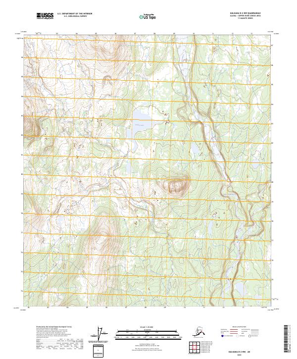
2023 Map of Gulkana D-2 NW
USGS Topo · Published 2023About this map
Chistochina River defines the eastern portion of this glacial-fed landscape, where the braiding water patterns indicate the dynamic nature of this northern interior river system. The terrain is dominated by the Sinona Creek watershed, which drains southward through a series of complex elevation contours before joining the main river valley. Near the center of the sheet, Sinona Lake sits as a significant alpine water body, likely a remnant of geological processes that shaped this portion of the Copper River Census Area. The lack of established road infrastructure or named settlements emphasizes the character of this region as a managed wilderness area, where natural drainages like the Middle Fork Chistochina River serve as the primary landmarks for navigation and land study. This survey provides a precise modern baseline for understanding the hydrologic features and topography of the high-latitude drainage basin.
Find a feature on this map
11 named features on this map. Tap any name to fly to it.
Don’t see what you’re looking for? This feature index may not catch every label — zoom into the map to look around manually.
Map Details
Editions of this 2023 Gulkana D-2 NW Map
This is the sole edition of this map. No revisions or reprints were ever made.
Other maps of this area

1949 · Gulkana D-3
USGS Topo · 1:63,360

1950 · Mount Hayes
USGS Topo · 1:250,000

1950 · Mount Hayes A-3
USGS Topo · 1:63,360

1951 · Gulkana
USGS Topo · 1:250,000

1951 · Mount Hayes
USGS Topo · 1:250,000

1952 · Gulkana D-3
USGS Topo · 1:63,360

1952 · Mount Hayes A-3
USGS Topo · 1:63,360
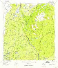
1954 · Gulkana D-2
USGS Topo · 1:63,360
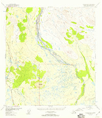
1954 · Gulkana D-3
USGS Topo · 1:63,360
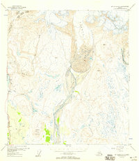
1954 · Mount Hayes A-3
USGS Topo · 1:63,360