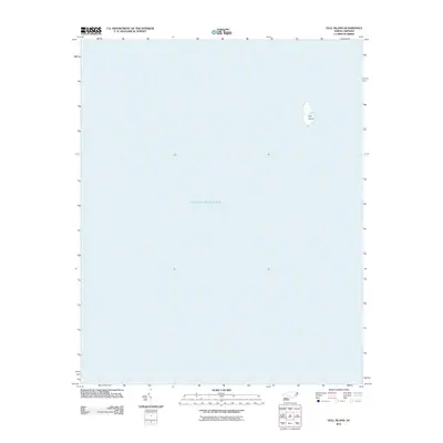
2011 Map of Gull Island
USGS Topo · Published 2011About this map
Gull Island sits as a solitary landform within the expansive waters of the Pamlico Sound, providing a precise look at this portion of the Outer Banks region in 2011. This specific coastal area is defined almost entirely by its marine environment, showing the island's isolation several miles from the mainland or the primary barrier islands. The map highlights the shifting nature of these coastal features, where Gull Island serves as one of the few stable points of reference for local navigation or ecological study within this section of the sound. This survey focuses on the intersection of hydrography and terrain, documenting the exact shoreline of the island at the time of the NAIP imagery in late 2009.
Find a feature on this map
2 named features on this map. Tap any name to fly to it.
Don’t see what you’re looking for? This feature index may not catch every label — zoom into the map to look around manually.
Map Details
Editions of this 2011 Gull Island Map
This is the sole edition of this map. No revisions or reprints were ever made.
Other maps of this area

1943 · Roanoke Island
USGS Topo · 1:125,000

1948 · Buxton
USGS Topo · 1:24,000

1950 · Buxton
USGS Topo · 1:24,000

1955 · Wanchese
USGS Topo · 1:250,000

1957 · Manteo
USGS Topo · 1:250,000

1960 · Manteo
USGS Topo · 1:250,000

1985 · Cape Hatteras
USGS Topo · 1:100,000

1985 · Manteo
USGS Topo · 1:100,000

2011 · Buxton
USGS Topo · 1:24,000
2011 · Long Shoal Point OE E
USGS Topo · 1:24,000