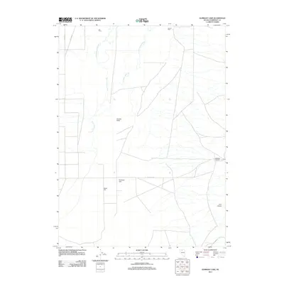
2011 Map of Gumboot Lake
USGS Topo · Published 2011About this map
Paradise Valley and the surrounding high desert of Humboldt County are defined by the winding course of the Little Humboldt River. In the early 21st century, this landscape remains primarily agricultural and ranching land, centered around legacy holdings such as Reil Ranch and Stewart Ranch. The topographical survey illustrates the reliance on seasonal water sources like Big Cottonwood Creek and the eponymous Gumboot Lake, which sits at the heart of the Dutch Flat area. The intersection of Dutch Flat Rd and Pole Line Rd marks the primary transit network through this part of the Great Basin, where the flat valley floor begins its ascent into the steep terrain of Sodarisi Canyon and Long Canyon to the east.
Find a feature on this map
12 named features on this map. Tap any name to fly to it.
Don’t see what you’re looking for? This feature index may not catch every label — zoom into the map to look around manually.
Map Details
Editions of this 2011 Gumboot Lake Map
This is the sole edition of this map. No revisions or reprints were ever made.
Other maps of this area

1882 · Paradise
USGS Topo · 1:250,000

1893 · Paradise
USGS Topo · 1:250,000

1945 · Osgood Mountains
USGS Topo · 1:62,500

1945 · Hot Springs
USGS Topo · 1:62,500

1947 · Osgood Mountains
USGS Topo · 1:62,500

1947 · Hot Springs Peak
USGS Topo · 1:62,500

1955 · McDermitt
USGS Topo · 1:250,000

1958 · Paradise Valley
USGS Topo · 1:62,500

1959 · McDermitt
USGS Topo · 1:250,000

1959 · Bliss
USGS Topo · 1:62,500