
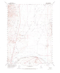
1959 Map of Bliss
USGS Topo · Published 1960About this map
Stewart Ranch and China Garden occupy the fringes of the Paradise Valley floor, where the Little Humboldt River winds through high desert basin and range country. This 1959 survey documents a landscape of transit and resource extraction, notably featuring the Tollhouse (Old Stage Sta), a reminder of earlier overland travel routes. To the south, the transportation corridor tightens along the river as the Western Pacific and Southern Pacific railroads converge near Weso and Bliss. High-country mining and prospecting are evident in the Santa Rosa Range, home to the Basque Mine, and across the valley floor toward Golconda Butte. Large expanses of Sand Dunes and the Gumboot terrain define the center of the quadrangle, illustrating the arid isolation of rural Humboldt County before more modern development reached the area.
Find a feature on this map
42 named features on this map. Tap any name to fly to it.
Don’t see what you’re looking for? This feature index may not catch every label — zoom into the map to look around manually.
Map Details
Editions of this 1959 Bliss Map
2 editions found
Other maps of this area

1882 · Paradise
USGS Topo · 1:250,000

1893 · Paradise
USGS Topo · 1:250,000

1932 · Sonoma Range
USGS Topo · 1:250,000

1939 · Sonoma Range
USGS Topo · 1:250,000

1945 · Osgood Mountains
USGS Topo · 1:62,500

1945 · Hot Springs
USGS Topo · 1:62,500

1947 · Osgood Mountains
USGS Topo · 1:62,500

1947 · Hot Springs Peak
USGS Topo · 1:62,500

1955 · McDermitt
USGS Topo · 1:250,000

1955 · Winnemucca
USGS Topo · 1:250,000