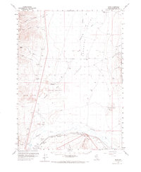
1959 Map of Bliss
USGS Topo · Published 1973About this map
The Little Humboldt River winds through this Great Basin landscape, passing significant historical waypoints such as the Tollhouse (Old Stage Sta) and the Stewart Ranch. This 1959 survey of Humboldt County illustrates the intersection of pioneering history and mid-century utility, where the arid valley floor is marked by essential water sources like the Artesian Well (Hot) and Eden Valley Well.
Find a feature on this map
36 named features on this map. Tap any name to fly to it.
Don’t see what you’re looking for? This feature index may not catch every label — zoom into the map to look around manually.
Map Details
Editions of this 1959 Bliss Map
2 editions found

Other maps of this area

1882 · Paradise
USGS Topo · 1:250,000

1893 · Paradise
USGS Topo · 1:250,000

1932 · Sonoma Range
USGS Topo · 1:250,000

1939 · Sonoma Range
USGS Topo · 1:250,000

1945 · Osgood Mountains
USGS Topo · 1:62,500

1945 · Hot Springs
USGS Topo · 1:62,500

1947 · Osgood Mountains
USGS Topo · 1:62,500

1947 · Hot Springs Peak
USGS Topo · 1:62,500

1955 · McDermitt
USGS Topo · 1:250,000

1955 · Winnemucca
USGS Topo · 1:250,000