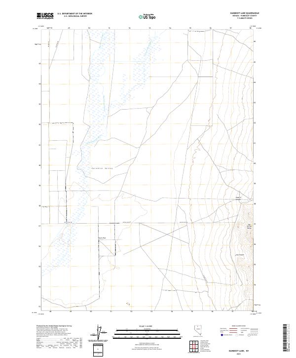
2021 Map of Gumboot Lake
USGS Topo · Published 2021About this map
Paradise Valley and the surrounding high desert of Humboldt County are defined by the winding course of the Little Humboldt River. This arid landscape is punctuated by Gumboot Lake and fed by seasonal drainages like Big Cottonwood Cr. The map captures the meeting point between the flat expanses of Dutch Flat and the rising elevations of the Hot Springs Range to the east. Remote access through this territory is maintained by a network of local routes including Dutch Flat Rd and Pipeline Rd. Topographic features like Sodarisi Canyon and Long Canyon cut into the eastern mountains, illustrating the complex drainage patterns that characterize this part of Nevada. The survey details the township and range system, including t39n r39e, providing a clear view of land divisions in this sparsely settled region.
Find a feature on this map
15 named features on this map. Tap any name to fly to it.
Don’t see what you’re looking for? This feature index may not catch every label — zoom into the map to look around manually.
Map Details
Editions of this 2021 Gumboot Lake Map
This is the sole edition of this map. No revisions or reprints were ever made.
Other maps of this area

1882 · Paradise
USGS Topo · 1:250,000

1893 · Paradise
USGS Topo · 1:250,000

1945 · Osgood Mountains
USGS Topo · 1:62,500

1945 · Hot Springs
USGS Topo · 1:62,500

1947 · Osgood Mountains
USGS Topo · 1:62,500

1947 · Hot Springs Peak
USGS Topo · 1:62,500

1955 · McDermitt
USGS Topo · 1:250,000

1958 · Paradise Valley
USGS Topo · 1:62,500

1959 · McDermitt
USGS Topo · 1:250,000

1959 · Bliss
USGS Topo · 1:62,500