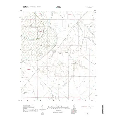
2018 Map of Gunnison
USGS Topo · Published 2018About this map
The Mississippi River floodplain in Bolivar County is defined by its complex hydrology and agricultural grid, as shown in this contemporary topographical survey. The town of Gunnison serves as the central hub, situated near the modern Levee Rd and the winding course of the Concordia Bayou. Historical burial grounds including Gunnison Cem, Concordia Cem, and Scott Cem are scattered across the landscape, providing essential points of reference for genealogists tracing local families.
Find a feature on this map
63 named features on this map. Tap any name to fly to it.
Don’t see what you’re looking for? This feature index may not catch every label — zoom into the map to look around manually.
Map Details
Editions of this 2018 Gunnison Map
This is the sole edition of this map. No revisions or reprints were ever made.
Other maps of this area
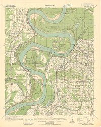
1930 · Mellwood
USGS Topo · 1:62,500
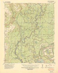
1939 · Henrico
USGS Topo · 1:62,500
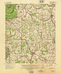
1939 · Pace
USGS Topo · 1:62,500
1939 · Big Island
USGS Topo · 1:62,500
1939 · Mellwood
USGS Topo · 1:62,500
1948 · Helena
USGS Topo · 1:250,000
1950 · Helena
USGS Topo · 1:250,000

1953 · Greenwood
USGS Topo · 1:250,000
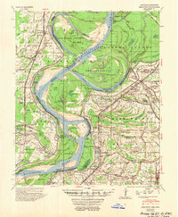
1954 · Mellwood
USGS Topo · 1:62,500
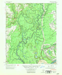
1954 · Henrico
USGS Topo · 1:62,500