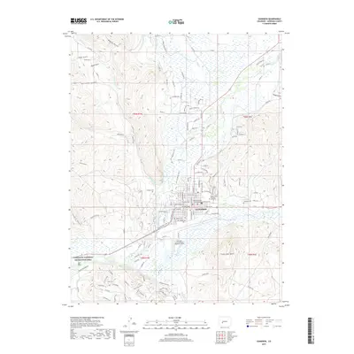
2019 Map of Gunnison
USGS Topo · Published 2019About this map
The mountain town of Gunnison serves as the focal point of this 2019 survey, situated at the confluence where Tomichi Creek joins the Gunnison River. The city's academic and civic core is well-defined, featuring the Western State Colorado University campus and the Gunnison County Courthouse. The surrounding high-country landscape is deeply etched by numerous drainage ways, including Maggie Gulch, Deep Gulch, and Hartman Gulch, which feed into the primary river systems. To the west, the map details the eastern fringes of the Curecanti National Recreation Area.
Find a feature on this map
106 named features on this map. Tap any name to fly to it.
Don’t see what you’re looking for? This feature index may not catch every label — zoom into the map to look around manually.
Map Details
Editions of this 2019 Gunnison Map
This is the sole edition of this map. No revisions or reprints were ever made.
Other maps of this area
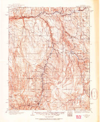
1908 · Uncompahgre
USGS Topo · 1:125,000
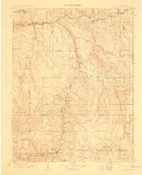
1911 · Uncompahgre
USGS Topo · 1:125,000
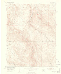
1954 · Iris NW
USGS Topo · 1:24,000
1954 · Iola
USGS Topo · 1:24,000
1954 · Mc Intosh Mountain
USGS Topo · 1:24,000
1954 · Gunnison
USGS Topo · 1:24,000
1956 · Montrose
USGS Topo · 1:250,000
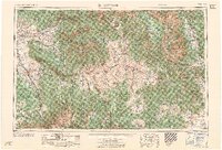
1959 · Montrose
USGS Topo · 1:250,000
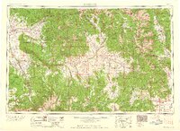
1960 · Montrose
USGS Topo · 1:250,000
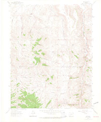
1962 · Iris
USGS Topo · 1:24,000