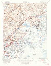
1949 Map of Gunpowder
USGS Topo · Published 1955About this map
The Gunpowder River and its numerous tributary creeks define the complex shoreline of the upper Chesapeake Bay in this post-war Maryland landscape. Significant infrastructure of the era is visible, including the massive Army Chemical Center and the US Army Signal Corps facilities near Bengies Point. The map captures the industrial and military footprint that shaped the region, contrasted with rural crossroads and long-standing educational landmarks like the McComas Institute.
Find a feature on this map
193 named features on this map. Tap any name to fly to it.
Don’t see what you’re looking for? This feature index may not catch every label — zoom into the map to look around manually.
Map Details
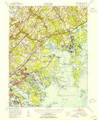
Editions of this 1949 Gunpowder Map
2 editions found
Other maps of this area

1893 · North Point
USGS Topo · 1:62,500

1893 · Gunpowder
USGS Topo · 1:62,500

1894 · Baltimore
USGS Topo · 1:62,500

1894 · Relay
USGS Topo · 1:62,500

1898 · Tolchester
USGS Topo · 1:125,000

1899 · Baltimore
USGS Topo · 1:62,500

1900 · Havre De Grace
USGS Topo · 1:62,500

1900 · Betterton
USGS Topo · 1:62,500

1900 · Parkton
USGS Topo · 1:62,500

1901 · Belair
USGS Topo · 1:62,500