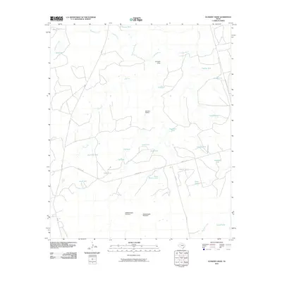
2010 Map of Gunsight Draw
USGS Topo · Published 2010About this map
Colorado River drainage patterns define this ranching landscape in Howard County, where the terrain is marked by essential water management features like Munger Tank, Deep Tank, and the curiously named Bombsight Tank. The map reveals a land structured by historical property use, where ephemeral waterways such as Rattlesnake Creek, Plum Creek, and Wildcat Creek feed into broader depressions like German Hollow. Prominent elevations including West Gunsight Mountain and East Gunsight Mountain overlook the eponymous Gunsight Draw, serving as natural landmarks for generations of locals. A network of rural routes, including Ranch Rd 1785 and FM 669, connects these remote points, illustrating the transport arteries of the early 21st-century West Texas cattle and oil country.
Find a feature on this map
34 named features on this map. Tap any name to fly to it.
Don’t see what you’re looking for? This feature index may not catch every label — zoom into the map to look around manually.
Map Details
Editions of this 2010 Gunsight Draw Map
This is the sole edition of this map. No revisions or reprints were ever made.
Other maps of this area

1942 · Big Spring North
USGS Topo · 1:62,500

1954 · Big Spring
USGS Topo · 1:250,000

1954 · Big Spring North NE
USGS Topo · 1:24,000

1958 · Big Spring
USGS Topo · 1:250,000

1966 · Knott NE
USGS Topo · 1:24,000

1970 · Vealmoor
USGS Topo · 1:24,000

1970 · Mushaway Peak
USGS Topo · 1:24,000
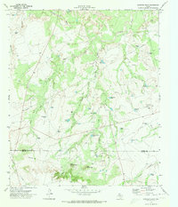
1970 · Gunsight Draw
USGS Topo · 1:24,000
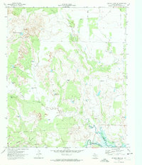
1970 · Gunsight Draw NE
USGS Topo · 1:24,000
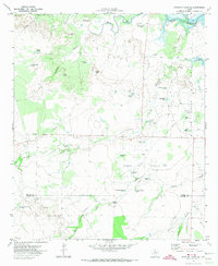
1970 · Gunsight Draw SE
USGS Topo · 1:24,000