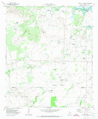
1970 Map of Gunsight Draw SE
USGS Topo · Published 1974About this map
Hobo Oil Field and the East Vealmoor Oil Field dominate this West Texas landscape, showing a region defined by energy extraction and cattle ranching during the early 1970s. The terrain across the Borden and Howard County line is marked by a vast network of water tanks, essential for livestock in this semi-arid environment, including the uniquely named Mother-in-Law Tank and Hobo Tank. These features reflect the local character and the practicalities of managing large pasture lands like those near Cedar Point.
Find a feature on this map
38 named features on this map. Tap any name to fly to it.
Don’t see what you’re looking for? This feature index may not catch every label — zoom into the map to look around manually.
Map Details
Editions of this 1970 Gunsight Draw SE Map
This is the sole edition of this map. No revisions or reprints were ever made.
Other maps of this area

1942 · Big Spring North
USGS Topo · 1:62,500

1951 · Ira SW
USGS Topo · 1:24,000

1951 · Ira NW
USGS Topo · 1:24,000

1951 · Vincent
USGS Topo · 1:24,000

1954 · Big Spring
USGS Topo · 1:250,000

1954 · Big Spring North NE
USGS Topo · 1:24,000

1958 · Big Spring
USGS Topo · 1:250,000

1970 · Mushaway Peak
USGS Topo · 1:24,000
1970 · Gunsight Draw
USGS Topo · 1:24,000
1970 · Gunsight Draw NE
USGS Topo · 1:24,000