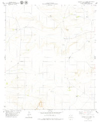
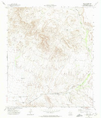
1979 Map of Gunsight Hills North
USGS Topo · Published 1979About this map
Gunsight Hills anchor this high-desert landscape in Hudspeth County, showing a remote region defined by ranching infrastructure and water management in the late 1970s. The map illustrates the survival strategies of the arid West, where named water sources such as Pool Tank, Moon Tank, and Mesquite Tank are vital landmarks. Human activity is sparse but clear, with the Baylor Ranch and the settlement at Cavett serving as the primary hubs of residency. The utilitarian nature of the era is evidenced by a dedicated Landing Strip, likely serving these remote outposts, alongside industrial markers like a Gravel Pit and a Drill Hole. This 1979 survey reflects the continuing reliance on scattered tanks and small-scale extractive sites within a landscape characterized by peaks such as Baylor and a prominent southern Point.
Find a feature on this map
14 named features on this map. Tap any name to fly to it.
Don’t see what you’re looking for? This feature index may not catch every label — zoom into the map to look around manually.
Map Details
Editions of this 1979 Gunsight Hills North Map
This is the sole edition of this map. No revisions or reprints were ever made.
Other maps of this area

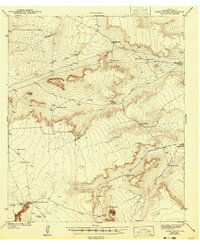
1894 · Fort Hancock
USGS Topo · 1:125,000

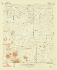
1895 · Sierra Blanca
USGS Topo · 1:125,000

1903 · Cerro Alto
USGS Topo · 1:125,000
1943 · Tepee Butte
USGS Topo · 1:62,500

1943 · Finlay Mountains
USGS Topo · 1:62,500
1948 · Triple Hill
USGS Topo · 1:62,500
1951 · Red Hills
USGS Topo · 1:62,500

1954 · Van Horn
USGS Topo · 1:250,000

1958 · Van Horn
USGS Topo · 1:250,000
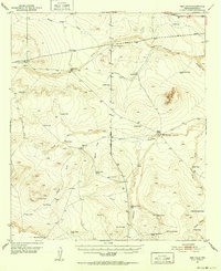
1972 · Small
USGS Topo · 1:24,000