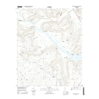
2014 Map of Guntersville Dam
USGS Topo · Published 2014About this map
Guntersville Dam anchors this transition where the Tennessee River feeds into Guntersville Lake and Wheeler Lake. The landscape is defined by the high relief of the Cumberland Plateau, with prominent elevations like Mayo Mtn, Merrill Mtn, and Black Mtn overlooking the river valley. The settlement pattern follows the lower gaps and ridges, concentrated around the community of Union Grove and smaller locales like Neighbors Mill and Black Center.
Find a feature on this map
124 named features on this map. Tap any name to fly to it.
Don’t see what you’re looking for? This feature index may not catch every label — zoom into the map to look around manually.
Map Details
Editions of this 2014 Guntersville Dam Map
This is the sole edition of this map. No revisions or reprints were ever made.
Other maps of this area

1885 · Gadsden
USGS Topo · 1:125,000

1888 · Cullman
USGS Topo · 1:125,000

1888 · Gadsden
USGS Topo · 1:125,000

1888 · Scottsboro
USGS Topo · 1:125,000

1888 · Huntsville
USGS Topo · 1:125,000

1892 · Cullman
USGS Topo · 1:125,000

1892 · Huntsville
USGS Topo · 1:125,000

1892 · Scottsboro
USGS Topo · 1:125,000

1892 · Gadsden
USGS Topo · 1:125,000

1895 · Gadsden
USGS Topo · 1:125,000