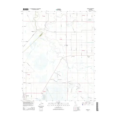
2015 Map of Gustine
USGS Topo · Published 2015About this map
The San Joaquin River and Merced River converge in this fertile stretch of the northern San Joaquin Valley, creating a complex hydrologic landscape defined by seasonal waterways and agricultural infrastructure. To the west, the city of Gustine anchors the map near the Gustine Airport, while the historic site of Hills Ferry sits near the confluence, marking an area once vital for river transport. The map reveals the intricate management of the Central Valley water system through features like the East-Side-Irrigation-Canal, Newman Waste-Way, and Eagle Ditch. Local history is preserved at the Sunnyside Cemetery near Stevinson, providing a genealogical anchor for the community. The presence of Mud Slough and Shag Slough further illustrates the low-lying, marshy character of the terrain that has been carefully adapted for irrigation and regional transit.
Find a feature on this map
53 named features on this map. Tap any name to fly to it.
Don’t see what you’re looking for? This feature index may not catch every label — zoom into the map to look around manually.
Map Details
Editions of this 2015 Gustine Map
This is the sole edition of this map. No revisions or reprints were ever made.
Other maps of this area
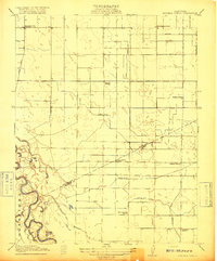
1916 · Mitchell School
USGS Topo · 1:31,680
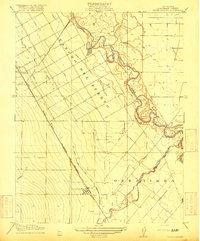
1916 · Crows Landing
USGS Topo · 1:31,680
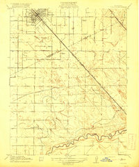
1917 · Turlock
USGS Topo · 1:31,680
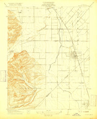
1917 · Newman
USGS Topo · 1:31,680
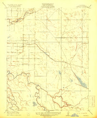
1918 · Stevinson
USGS Topo · 1:31,680
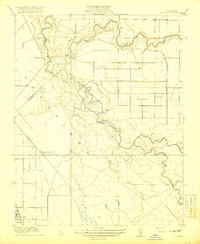
1918 · Gustine
USGS Topo · 1:31,680
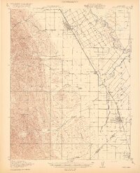
1919 · Orestimba
USGS Topo · 1:62,500
1919 · San Luis Ranch
USGS Topo · 1:31,680
1919 · Ingomar
USGS Topo · 1:31,680
1920 · Pacheco Pass
USGS Topo · 1:62,500