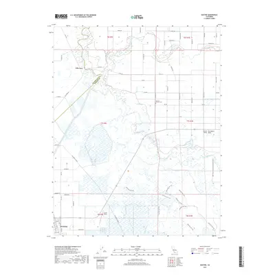
2018 Map of Gustine
USGS Topo · Published 2018About this map
Gustine and the historic river crossing at Hills Ferry anchor this detailed study of the San Joaquin Valley's hydraulic and agricultural landscape. The map illustrates a complex network of water management, where the Merced River joins the San Joaquin River amidst a series of managed waterways like Shag Slough, Mud Slough, and the East Side Irrigation Canal. This convergence of natural river channels and man-made irrigation systems like Cross Ditch Number One defines the local environment, supporting the surrounding agricultural parcels.
Find a feature on this map
58 named features on this map. Tap any name to fly to it.
Don’t see what you’re looking for? This feature index may not catch every label — zoom into the map to look around manually.
Map Details
Editions of this 2018 Gustine Map
This is the sole edition of this map. No revisions or reprints were ever made.
Other maps of this area
1916 · Mitchell School
USGS Topo · 1:31,680
1916 · Crows Landing
USGS Topo · 1:31,680
1917 · Turlock
USGS Topo · 1:31,680
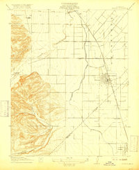
1917 · Newman
USGS Topo · 1:31,680
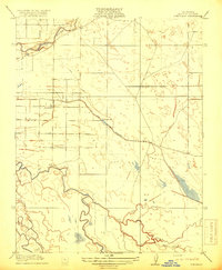
1918 · Stevinson
USGS Topo · 1:31,680
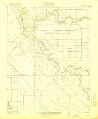
1918 · Gustine
USGS Topo · 1:31,680
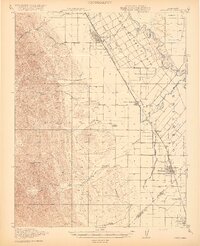
1919 · Orestimba
USGS Topo · 1:62,500
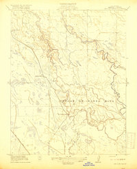
1919 · San Luis Ranch
USGS Topo · 1:31,680
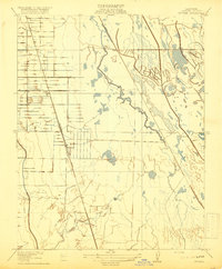
1919 · Ingomar
USGS Topo · 1:31,680
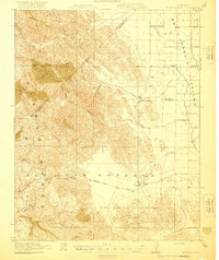
1920 · Pacheco Pass
USGS Topo · 1:62,500