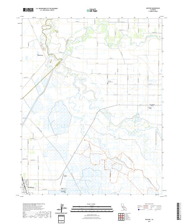
2021 Map of Gustine
USGS Topo · Published 2021About this map
Gustine anchors the southwestern corner of this study, positioned near the Gustine Airport and a grid of agricultural thoroughfares like Hunt Rd and Wallis Ave. The landscape is dominated by the complex hydrology of the San Joaquin Valley, where the San Joaquin River and Merced River converge amidst a network of wetlands and drainage features. One of the most striking elements is the intricate system of waterways, including Shag Slough, Mud Slough, and the Newman Waste Way, which underscore the region's historical reliance on water management for its fertile ranching and farming operations.
Find a feature on this map
57 named features on this map. Tap any name to fly to it.
Don’t see what you’re looking for? This feature index may not catch every label — zoom into the map to look around manually.
Map Details
Editions of this 2021 Gustine Map
This is the sole edition of this map. No revisions or reprints were ever made.
Other maps of this area

1916 · Mitchell School
USGS Topo · 1:31,680

1916 · Crows Landing
USGS Topo · 1:31,680

1917 · Turlock
USGS Topo · 1:31,680

1917 · Newman
USGS Topo · 1:31,680

1918 · Stevinson
USGS Topo · 1:31,680

1918 · Gustine
USGS Topo · 1:31,680

1919 · Orestimba
USGS Topo · 1:62,500

1919 · San Luis Ranch
USGS Topo · 1:31,680

1919 · Ingomar
USGS Topo · 1:31,680

1920 · Pacheco Pass
USGS Topo · 1:62,500