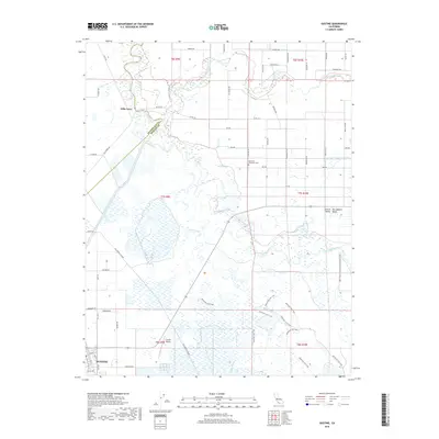
1918 Map of Gustine
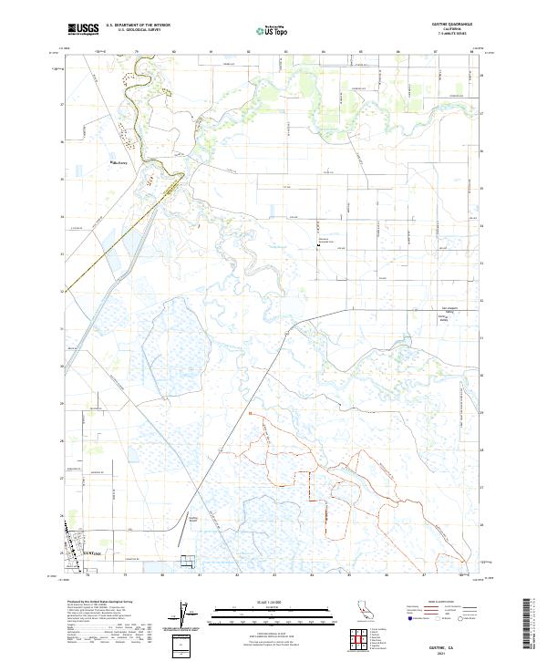
USGS Topo · Published 1933About this map
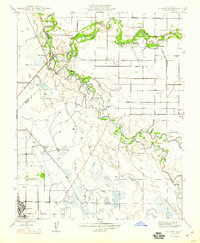
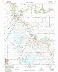
The confluence of the San Joaquin River and the Merced River dominates this 1915 landscape, revealing a complex web of seasonal waterways and early agricultural infrastructure. Before modern water management transformed the Central Valley, this area relied on natural features like Fremont Ford and a network of tidal-influenced channels, including Salt Slough and Mud Slough. The settlement of Hills Ferry sits at a critical bend in the river, serving as a reminder of the era when steamships and ferries were the primary movers of goods and people.
Find a feature on this map
15 named features on this map. Tap any name to fly to it.
Don’t see what you’re looking for? This feature index may not catch every label — zoom into the map to look around manually.
Map Details
Editions of this 1918 Gustine Map
2 editions found
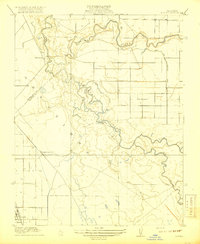
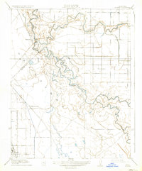
Historical Maps of Gustine Through Time
7 maps found