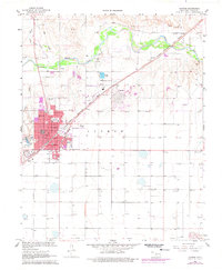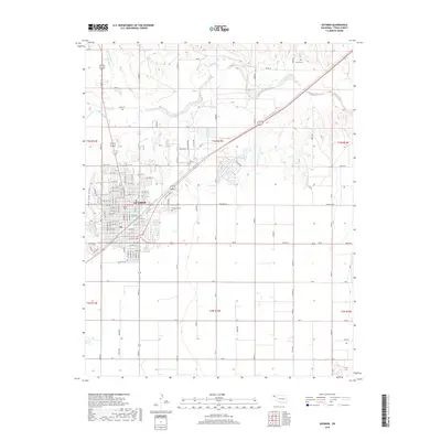
1982 Map of Guymon
USGS Topo · Published 1982About this map
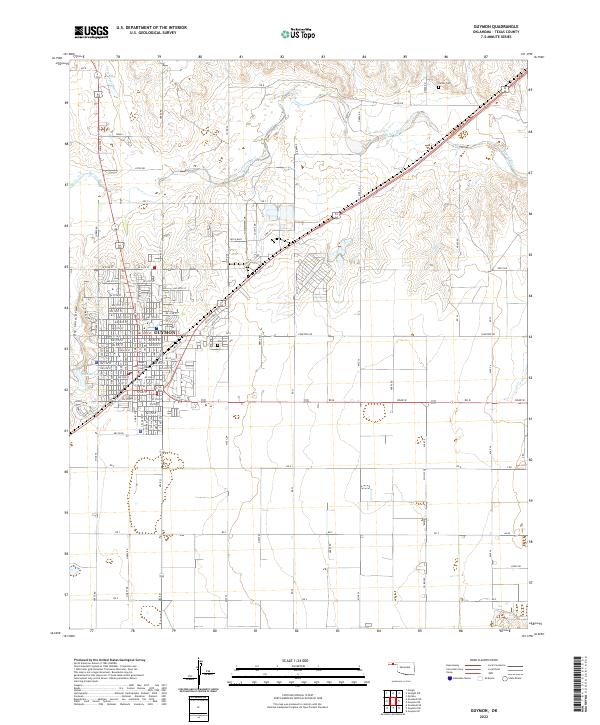
The high plains of the Oklahoma Panhandle meet the Kansas and Texas borders in this early 1980s survey, defined by a sparse but deliberate network of agricultural centers and energy infrastructure. Guymon serves as the central hub of this landscape, supported by the presence of Oklahoma Panhandle State University in nearby Goodwell. The land is scored by the drainage of the Beaver River and Cimarron River, including the impoundment of Optima Lake and its surrounding Optima National Wildlife Refuge. Regional transportation and industry are clearly traced through the St Louis-Southwestern and At&SF railroads, which connect grain and freight from towns like Hooker, Tyrone, and Texhoma. The prevalence of the Oil and Gas Field labels across the northern reaches underscores the region's mid-century economic reliance on subsurface resources alongside traditional ranching and farming.
Find a feature on this map
51 named features on this map. Tap any name to fly to it.
Don’t see what you’re looking for? This feature index may not catch every label — zoom into the map to look around manually.
Map Details
Editions of this 1982 Guymon Map
This is the sole edition of this map. No revisions or reprints were ever made.
Historical Maps of Guymon Through Time
7 maps found