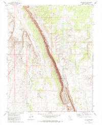
1979 Map of Gyp Pocket
USGS Topo · Published 1985About this map
The dramatic western landscape of Mohave County is defined here by the massive north-south alignment of the Hurricane Cliffs. This geologic feature creates a stark vertical division across the terrain, separating the higher eastern plateau from the Lower Hurricane Valley to the west. The landscape reflects a ranching and livestock history, with essential water sources such as Jackson Tank, Parker Tank, and Nutter Pond scattered across the basin to support cattle in this arid environment.
Find a feature on this map
13 named features on this map. Tap any name to fly to it.
Don’t see what you’re looking for? This feature index may not catch every label — zoom into the map to look around manually.
Map Details
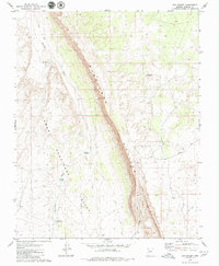
Editions of this 1979 Gyp Pocket Map
2 editions found
Other maps of this area

1886 · Mt. Trumbull
USGS Topo · 1:250,000

1892 · Mt. Trumbull
USGS Topo · 1:250,000

1953 · Grand Canyon
USGS Topo · 1:250,000

1954 · Hurricane Cliffs 2 NW
USGS Topo · 1:24,000

1954 · Hurricane Cliffs 2 NE
USGS Topo · 1:24,000
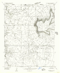
1954 · Lost Spring NW
USGS Topo · 1:24,000
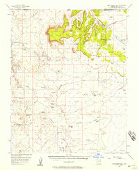
1954 · Lost Spring Mtn
USGS Topo · 1:62,500

1957 · Grand Canyon
USGS Topo · 1:250,000

1958 · Grand Canyon
USGS Topo · 1:250,000

1960 · Grand Canyon
USGS Topo · 1:250,000