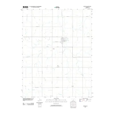
2009 Map of Gypsum
USGS Topo · Published 2009About this map
Gypsum serves as the primary hub in this Saline County landscape, defined by a complex network of waterways that crisscross the prairie. The town is situated at the confluence of several prominent drainage systems, most notably Gypsum Creek and Spring Creek, which shape the local topography and historical road alignments. This early 21st-century survey documents a rural infrastructure where section-line roads like Tinkler Rd and S Gypsum Valley Rd connect isolated homesteads and burial grounds. For those tracing family histories or local settlement patterns, the map identifies three distinct cemeteries: Gypsum Cemetery to the west of the town center, Saint Patrick Cemetery further south, and Chapel Hill Cemetery near the southern boundary. These sites, alongside smaller tributaries like McAllister Creek and Hobbs Creek, provide critical landmarks for understanding the area's development outside the concentrated streets of Gypsum.
Find a feature on this map
34 named features on this map. Tap any name to fly to it.
Don’t see what you’re looking for? This feature index may not catch every label — zoom into the map to look around manually.
Map Details
Editions of this 2009 Gypsum Map
This is the sole edition of this map. No revisions or reprints were ever made.
Other maps of this area

1889 · Abilene
USGS Topo · 1:125,000

1892 · Salina
USGS Topo · 1:125,000

1894 · Abilene
USGS Topo · 1:125,000

1942 · Salina
USGS Topo · 1:125,000

1955 · Salina
USGS Topo · 1:24,000

1955 · Assaria
USGS Topo · 1:24,000

1955 · Kipp
USGS Topo · 1:24,000

1955 · Gypsum
USGS Topo · 1:24,000

1955 · Hutchinson
USGS Topo · 1:250,000

1959 · Hutchinson
USGS Topo · 1:250,000