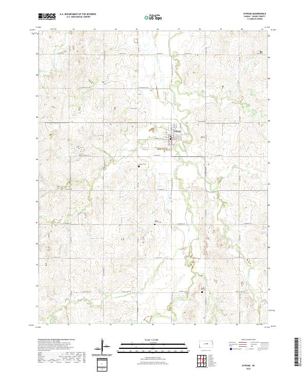
2022 Map of Gypsum
USGS Topo · Published 2022About this map
Gypsum serves as the central hub for this portion of Saline County, situated at the confluence of several vital watercourses. The landscape is defined by the winding paths of Gypsum Cr and its tributaries, including McAllister Cr, Spring Cr, and W Br Gypsum Cr. This network of creeks dictates the local geography, with the town grid oriented around King St and Spring St.
Find a feature on this map
42 named features on this map. Tap any name to fly to it.
Don’t see what you’re looking for? This feature index may not catch every label — zoom into the map to look around manually.
Map Details
Editions of this 2022 Gypsum Map
This is the sole edition of this map. No revisions or reprints were ever made.
Other maps of this area

1889 · Abilene
USGS Topo · 1:125,000

1892 · Salina
USGS Topo · 1:125,000

1894 · Abilene
USGS Topo · 1:125,000

1942 · Salina
USGS Topo · 1:125,000

1955 · Salina
USGS Topo · 1:24,000

1955 · Assaria
USGS Topo · 1:24,000

1955 · Kipp
USGS Topo · 1:24,000

1955 · Gypsum
USGS Topo · 1:24,000

1955 · Hutchinson
USGS Topo · 1:250,000

1959 · Hutchinson
USGS Topo · 1:250,000