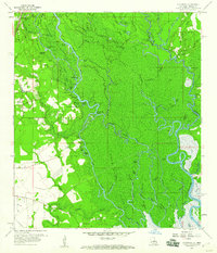
1959 Map of Haaswood
USGS Topo · Published 1960About this map
The West Pearl River meanders through a dense network of bayous and islands along the Louisiana and Mississippi border, defining the landscape of this 1959 survey. The area is marked by numerous family and community landmarks, including Rousseaux Cem, Oak Grove Cem, and Porters Cem, which reflect the local genealogy of the river-bottom settlements. At the edge of the wetlands, the Southern Railway System cuts across the terrain near Haaswood, providing a glimpse into the mid-century transportation network that linked these small communities. The map highlights a river-based economy and way of life, with numerous landings like Porters River Landing and Davis Landing dotting the banks of the complex waterways, including Steamboat Slough and Doubloon Bayou. Small centers like Logtown and Gainesville stand as anchors in this labyrinth of swamps and hammocks.
Find a feature on this map
77 named features on this map. Tap any name to fly to it.
Don’t see what you’re looking for? This feature index may not catch every label — zoom into the map to look around manually.
Map Details
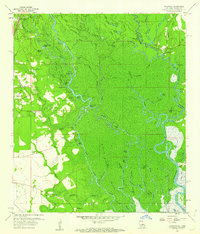
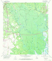
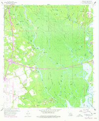
Editions of this 1959 Haaswood Map
4 editions found
Other maps of this area

1892 · Chef Menteur
USGS Topo · 1:62,500

1893 · Rigolets
USGS Topo · 1:62,500

1914 · Nicholson
USGS Topo · 1:62,500

1921 · Nicholson
USGS Topo · 1:62,500

1935 · Slidell
USGS Topo · 1:62,500

1935 · English Lookout
USGS Topo · 1:31,680

1936 · North Shore
USGS Topo · 1:31,680

1936 · Chef Menteur
USGS Topo · 1:62,500

1936 · Rigolets
USGS Topo · 1:62,500

1939 · Slidell
USGS Topo · 1:62,500