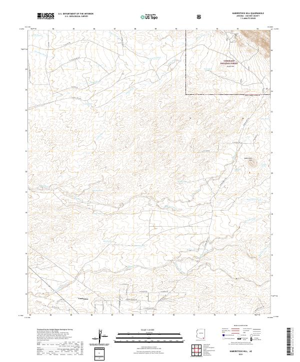
2021 Map of Haberstock Hill
USGS Topo · Published 2021About this map
The high desert terrain of Cochise County reveals a landscape shaped by intermittent water and early ranching history, with the northern outskirts of Tombstone situated in the southwestern corner. The map follows a series of dry washes, including Slavin Wash, Escalante Wash, and Smith Wash, which drain the arid plains towards the San Pedro River valley. Elevation rises in the northeast as the terrain enters the Coronado National Forest, where landmarks like Smith Hill and Haberstock Hill provide topographic variety.
Find a feature on this map
49 named features on this map. Tap any name to fly to it.
Don’t see what you’re looking for? This feature index may not catch every label — zoom into the map to look around manually.
Map Details
Editions of this 2021 Haberstock Hill Map
This is the sole edition of this map. No revisions or reprints were ever made.
Other maps of this area

1915 · Benson
USGS Topo · 1:125,000

1916 · Pearce
USGS Topo · 1:125,000

1922 · St. David
USGS Topo · 1:62,500

1925 · Gleeson
USGS Topo · 1:62,500

1926 · Courtland
USGS Topo · 1:62,500

1932 · Fairbank
USGS Topo · 1:62,500

1943 · Benson
USGS Topo · 1:125,000
1952 · Fairbank
USGS Topo · 1:24,000
1952 · Tombstone
USGS Topo · 1:24,000
1952 · Tombstone
USGS Topo · 1:62,500