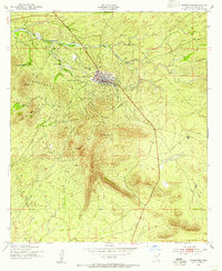
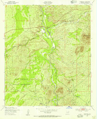
1952 Map of Tombstone
USGS Topo · Published 1955About this map
Tombstone anchors this mid-century survey of the high desert, showing the town's grid and historic landmarks just after the second world war. The map reveals a landscape defined by its mining and ranching heritage, with the Tombstone Hills rising to the south and west. Local landmarks like the Boothill Cem and the Schieffelin Monument are clearly marked, alongside various family operations such as the Guthrie Ranch and Lucky Hills Stock Ranch.
Find a feature on this map
22 named features on this map. Tap any name to fly to it.
Don’t see what you’re looking for? This feature index may not catch every label — zoom into the map to look around manually.
Map Details
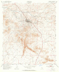
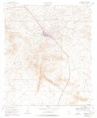
Editions of this 1952 Tombstone Map
3 editions found
Other maps of this area

1915 · Benson
USGS Topo · 1:125,000

1916 · Pearce
USGS Topo · 1:125,000

1922 · St. David
USGS Topo · 1:62,500

1925 · Gleeson
USGS Topo · 1:62,500

1926 · Courtland
USGS Topo · 1:62,500

1932 · Fairbank
USGS Topo · 1:62,500

1943 · Benson
USGS Topo · 1:125,000

1952 · Tombstone SE
USGS Topo · 1:24,000
1952 · Lewis Springs
USGS Topo · 1:24,000
1952 · Fairbank
USGS Topo · 1:24,000