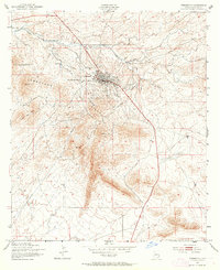
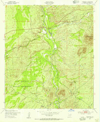
1952 Map of Tombstone
USGS Topo · Published 1964About this map
Tombstone remains the focal point of this mid-century survey, centered in a landscape of arroyos and mining history within the Tombstone Hills. The town's grid is established adjacent to Walnut Gulch, with the Southern Pacific railroad line providing the primary industrial artery through the desert. Just west of the town site, the Cem and the Schieffelin Monument mark the area's pioneer heritage, commemorating the silver mining era that shaped the county.
Find a feature on this map
25 named features on this map. Tap any name to fly to it.
Don’t see what you’re looking for? This feature index may not catch every label — zoom into the map to look around manually.
Map Details
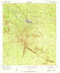
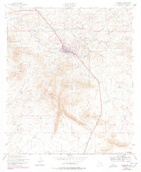
Editions of this 1952 Tombstone Map
3 editions found
Other maps of this area

1915 · Benson
USGS Topo · 1:125,000

1916 · Pearce
USGS Topo · 1:125,000

1922 · St. David
USGS Topo · 1:62,500

1925 · Gleeson
USGS Topo · 1:62,500

1926 · Courtland
USGS Topo · 1:62,500

1932 · Fairbank
USGS Topo · 1:62,500

1943 · Benson
USGS Topo · 1:125,000

1952 · Tombstone SE
USGS Topo · 1:24,000
1952 · Lewis Springs
USGS Topo · 1:24,000
1952 · Fairbank
USGS Topo · 1:24,000