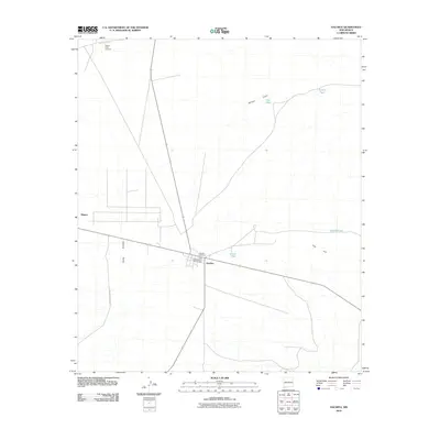
2010 Map of Hachita
USGS Topo · Published 2010About this map
Hachita serves as the focal point of this high-desert landscape, situated at the convergence of several regional routes within the Hachita Valley. The map highlights the area's transition from its industrial past to modern land use, specifically noting the Old Hatchet Mine Historic Site adjacent to the town center. While the settlement of Minero lies to the northwest, much of the surrounding terrain is defined by ranching and resource management, including the extensive operations of the Victorio Cattle Company.
Find a feature on this map
15 named features on this map. Tap any name to fly to it.
Don’t see what you’re looking for? This feature index may not catch every label — zoom into the map to look around manually.
Map Details
Editions of this 2010 Hachita Map
This is the sole edition of this map. No revisions or reprints were ever made.
Other maps of this area

1918 · Hachita
USGS Topo · 1:62,500

1918 · Victorio
USGS Topo · 1:62,500

1954 · Silver City
USGS Topo · 1:250,000

1955 · Douglas
USGS Topo · 1:250,000

1958 · Silver City
USGS Topo · 1:250,000

1959 · Douglas
USGS Topo · 1:250,000

1961 · Douglas
USGS Topo · 1:250,000

1962 · Silver City
USGS Topo · 1:250,000

1963 · Gage SW
USGS Topo · 1:24,000

1964 · Douglas
USGS Topo · 1:250,000