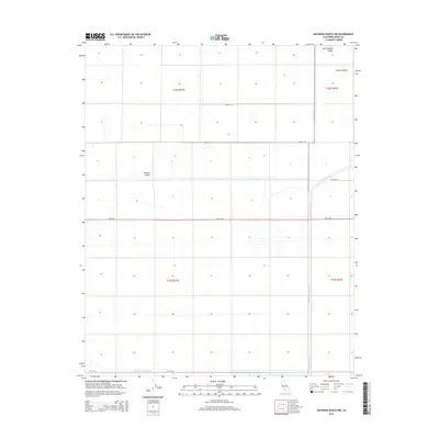
2015 Map of Hacienda Ranch NW
USGS Topo · Published 2015About this map
The San Joaquin Valley floor reveals a landscape defined by an extensive grid of agricultural management and water distribution. Within this portion of the Central Valley, the terrain is structured by a network of engineered waterways, including the Homeland Canal and the distinctively named Liberty Farms S Canal and Liberty Farms E Canal. A singular landform, Pelican Island, stands out against the surrounding geometric precision of section lines and straight-line roads such as Utica Ave and Seattle Ave. This survey illustrates the modern scale of industrial farming in Kings County, where the historic hydrology has been fully adapted to the needs of the region's productive agricultural economy. These precise boundaries and canals provide a detailed look at the infrastructure required to sustain the valley's intensive land use in the twenty-first century.
Find a feature on this map
15 named features on this map. Tap any name to fly to it.
Don’t see what you’re looking for? This feature index may not catch every label — zoom into the map to look around manually.
Map Details
Editions of this 2015 Hacienda Ranch NW Map
This is the sole edition of this map. No revisions or reprints were ever made.
Other maps of this area

1914 · Lost Hills
USGS Topo · 1:125,000

1928 · Corcoran
USGS Topo · 1:31,680

1929 · Hacienda Ranch
USGS Topo · 1:31,680

1929 · West Alpaugh
USGS Topo · 1:31,680

1931 · Harvester
USGS Topo · 1:31,680

1932 · El Rico Ranch
USGS Topo · 1:31,680

1932 · Dudley Ridge
USGS Topo · 1:31,680

1932 · West Camp
USGS Topo · 1:31,680

1932 · Lone Tree Well
USGS Topo · 1:31,680

1933 · Chatom Ranch
USGS Topo · 1:31,680