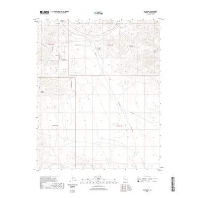
2018 Map of Hackberry
USGS Topo · Published 2018About this map
Hackberry sits at the foot of the Peacock Mountains in this 2018 survey, serving as a focal point in a landscape defined by the drainage systems of the Cottonwood Mountains. The map documents a sparse high-desert settlement pattern, anchored by the Hackberry Cem and the X Bar 1 Ranch (Lower) Airport. Several major arroyos and washes, including Truxton Wash and Hackberry Wash, dictate the layout of local roads like Hackberry Rd and Dicks Camp Rd.
Find a feature on this map
25 named features on this map. Tap any name to fly to it.
Don’t see what you’re looking for? This feature index may not catch every label — zoom into the map to look around manually.
Map Details
Editions of this 2018 Hackberry Map
This is the sole edition of this map. No revisions or reprints were ever made.
Other maps of this area

1886 · Diamond Creek
USGS Topo · 1:250,000

1892 · Diamond Creek
USGS Topo · 1:250,000

1948 · Williams
USGS Topo · 1:250,000

1954 · Williams
USGS Topo · 1:250,000

1956 · Williams
USGS Topo · 1:250,000

1960 · Williams
USGS Topo · 1:250,000

1961 · Williams
USGS Topo · 1:250,000
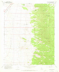
1968 · Peacock Peak
USGS Topo · 1:24,000
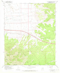
1968 · Hualapai Peak NE
USGS Topo · 1:24,000
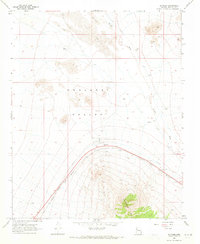
1968 · Antares
USGS Topo · 1:24,000