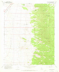
1968 Map of Peacock Peak
USGS Topo · Published 1971About this map
Mining operations and critical water sources define this high-desert landscape in Mohave County. In the north, the Peacock Mountains are dotted with several mineral extractions, including the North Hackberry Mine, Sunshine Mine, and Hackberry Mine. These sites are supported by a network of essential water points like Mine Spring and Willow Spring, which are vital for industry and livestock in an arid environment.
Find a feature on this map
19 named features on this map. Tap any name to fly to it.
Don’t see what you’re looking for? This feature index may not catch every label — zoom into the map to look around manually.
Map Details
Editions of this 1968 Peacock Peak Map
3 editions found
Other maps of this area

1886 · Diamond Creek
USGS Topo · 1:250,000

1892 · Diamond Creek
USGS Topo · 1:250,000

1948 · Williams
USGS Topo · 1:250,000

1954 · Williams
USGS Topo · 1:250,000

1956 · Williams
USGS Topo · 1:250,000

1960 · Williams
USGS Topo · 1:250,000

1961 · Williams
USGS Topo · 1:250,000
1968 · Long Mountain
USGS Topo · 1:24,000
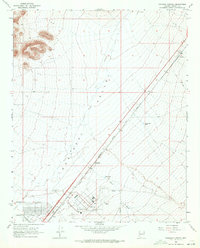
1968 · Kingman Airport
USGS Topo · 1:24,000
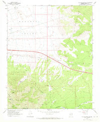
1968 · Hualapai Peak NE
USGS Topo · 1:24,000