
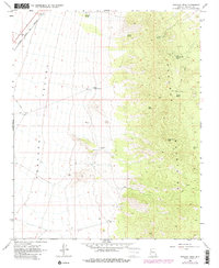
1968 Map of Peacock Peak
USGS Topo · Published 1980About this map
Peacock Peak anchors the high desert landscape of Mohave County, where the stark transition between the Hualapai Valley and the Peacock Mountains defined the area's resource-driven development in the late 1960s. This survey records the heavy industrial footprint of mining operations on the mountain's eastern slopes, specifically the Hackberry Mine, North Hackberry Mine, and Sunshine Mine. These sites are linked by a network of unimproved roads and a Jeep Trail, illustrating the rugged accessibility required for mineral extraction during this period.
Find a feature on this map
17 named features on this map. Tap any name to fly to it.
Don’t see what you’re looking for? This feature index may not catch every label — zoom into the map to look around manually.
Map Details
Editions of this 1968 Peacock Peak Map
3 editions found
Other maps of this area

1886 · Diamond Creek
USGS Topo · 1:250,000

1892 · Diamond Creek
USGS Topo · 1:250,000

1948 · Williams
USGS Topo · 1:250,000

1954 · Williams
USGS Topo · 1:250,000

1956 · Williams
USGS Topo · 1:250,000

1960 · Williams
USGS Topo · 1:250,000

1961 · Williams
USGS Topo · 1:250,000
1968 · Long Mountain
USGS Topo · 1:24,000
1968 · Kingman Airport
USGS Topo · 1:24,000
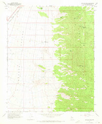
1968 · Peacock Peak
USGS Topo · 1:24,000