
1968 Map of Peacock Peak
USGS Topo · Published 1980About this map
The Peacock Mountains rise sharply from the Hualapai Valley in this late 1960s survey, updated with photorevised data through 1980. This arid landscape is defined by its verticality and the vital presence of water sources like Five Wells and Crescent Spring. The western flats are dominated by the industrial spine of the Atchison Topeka and Santa Fe railroad, which parallels a major highway corridor.
Find a feature on this map
19 named features on this map. Tap any name to fly to it.
Don’t see what you’re looking for? This feature index may not catch every label — zoom into the map to look around manually.
Map Details
Editions of this 1968 Peacock Peak Map
3 editions found

Other maps of this area

1886 · Diamond Creek
USGS Topo · 1:250,000

1892 · Diamond Creek
USGS Topo · 1:250,000

1948 · Williams
USGS Topo · 1:250,000

1954 · Williams
USGS Topo · 1:250,000

1956 · Williams
USGS Topo · 1:250,000

1960 · Williams
USGS Topo · 1:250,000

1961 · Williams
USGS Topo · 1:250,000
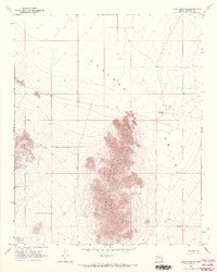
1968 · Long Mountain
USGS Topo · 1:24,000
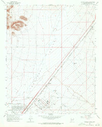
1968 · Kingman Airport
USGS Topo · 1:24,000

1968 · Peacock Peak
USGS Topo · 1:24,000