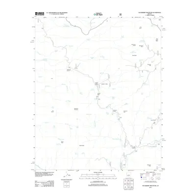
2012 Map of Hackberry Mountain
USGS Topo · Published 2012About this map
Hackberry Mountain and the complex drainage of the Mogollon Rim foothills define this landscape in Yavapai County. The 2012 survey illustrates a remote geography dominated by traditional water management, featuring a dense network of catchment tanks including Nine and a Half Mile Tank, Buckskin Tank, and Dorens Defeat Tank. These features, alongside Phroney Spring and Hackberry Springs, reflect the critical importance of water resources for cattle and wildlife in this arid environment.
Find a feature on this map
77 named features on this map. Tap any name to fly to it.
Don’t see what you’re looking for? This feature index may not catch every label — zoom into the map to look around manually.
Map Details
Editions of this 2012 Hackberry Mountain Map
This is the sole edition of this map. No revisions or reprints were ever made.
Other maps of this area

1887 · Verde
USGS Topo · 1:250,000

1892 · Verde
USGS Topo · 1:250,000

1923 · Camp Verde
USGS Topo · 1:125,000

1929 · Turret Peak
USGS Topo · 1:125,000

1932 · Camp Verde
USGS Topo · 1:125,000

1933 · Turret Peak
USGS Topo · 1:125,000

1936 · Camp Verde
USGS Topo · 1:125,000

1954 · Holbrook
USGS Topo · 1:250,000

1957 · Holbrook
USGS Topo · 1:250,000

1958 · Holbrook
USGS Topo · 1:250,000