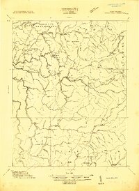
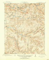
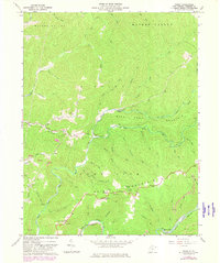
1913 Map of Hacker Valley
USGS Topo · Published 1913About this map
Hacker Valley and the surrounding Webster County highlands are documented here during a period of remote mountain settlement and emerging transit. This 1913 survey details the headwaters of the Elk River and Little Kanawha River, where small communities like Cleveland, Wheeler, and Replete served a landscape defined by timber and subsistence farming. The transit network is a mix of rugged roads and specialized points like Salisbury Sta, highlighting how the region connected to broader markets.
Find a feature on this map
111 named features on this map. Tap any name to fly to it.
Don’t see what you’re looking for? This feature index may not catch every label — zoom into the map to look around manually.
Map Details
Editions of this 1913 Hacker Valley Map
2 editions found
Historical Maps of Vernon Through Time
21 maps found
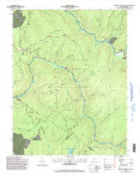
1913 Hacker Valley
Webster County, WV
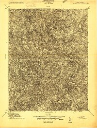
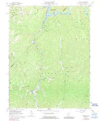
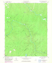
1915 Hacker Valley
Webster County, WV
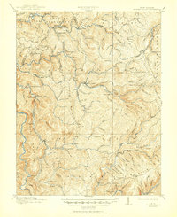
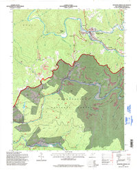
1915 Webster Springs
Webster County, WV
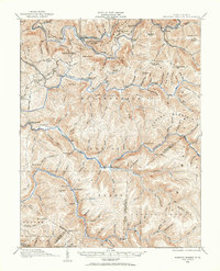
1918 Webster Springs
Webster County, WV
1966 Webster Springs
Webster County, WV
1967 Diana
Webster County, WV
1967 Erbacon
Webster County, WV
1967 Goshen
Webster County, WV
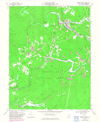
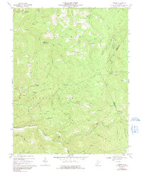
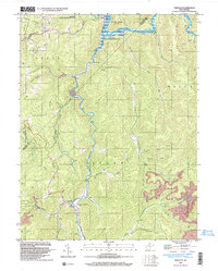
1967 Hacker Valley
Webster County, WV
1967 Skelt
Webster County, WV
1967 Webster Springs SW
Webster County, WV
1995 Webster Springs SW
Webster County, WV
1995 Webster Springs
Webster County, WV
1997 Erbacon
Webster County, WV
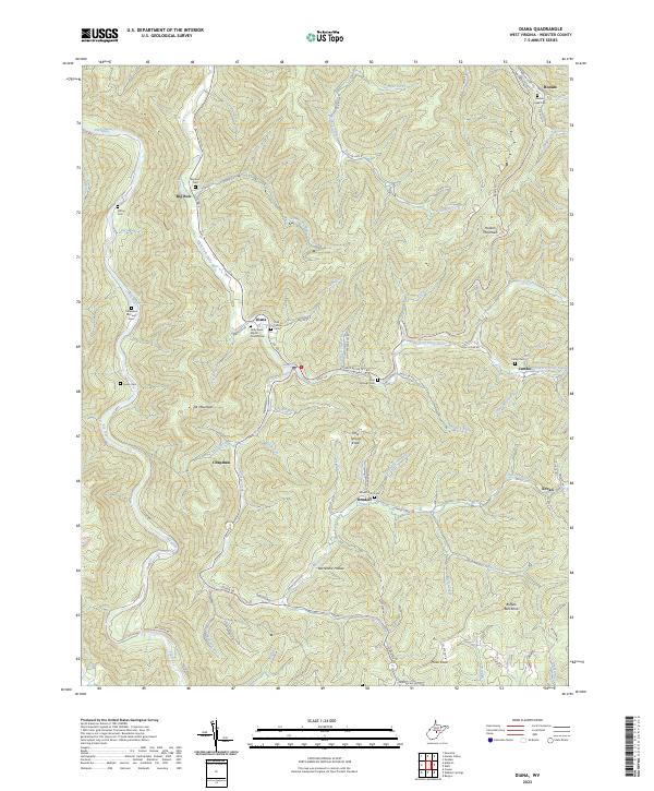
2023 Diana
Webster County, WV
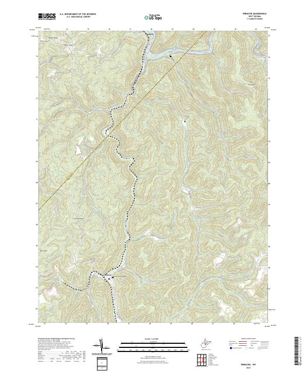
2023 Erbacon
Webster County, WV
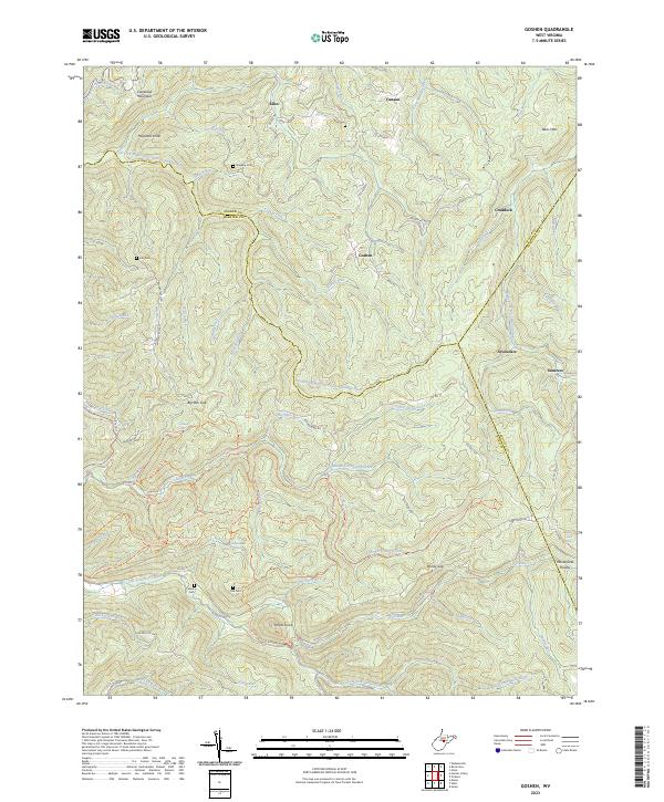
2023 Goshen
Webster County, WV
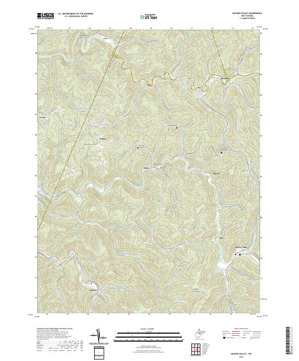
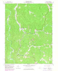
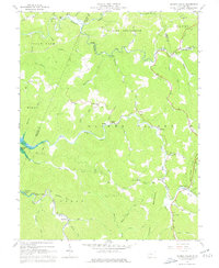
2023 Hacker Valley
Webster County, WV
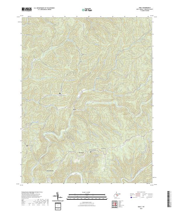
2023 Skelt
Webster County, WV
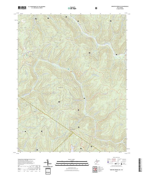
2023 Webster Springs SW
Webster County, WV
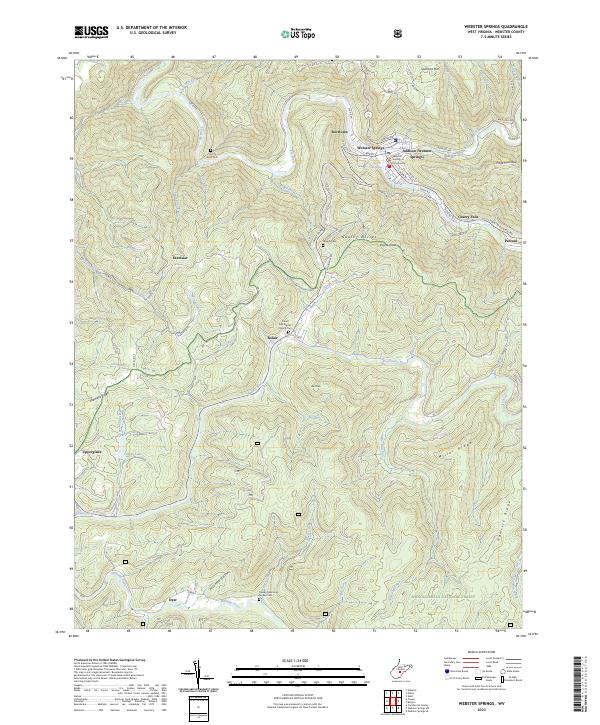
2023 Webster Springs
Webster County, WV