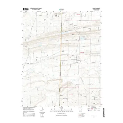
2014 Map of Hackett
USGS Topo · Published 2014About this map
The Oklahoma-Arkansas border bisects this 2014 survey, capturing the shared landscape of Le Flore and Sebastian counties. This region is characterized by the prominent ridge of Backbone Mtn, which stretches across the center of the map, and the varied elevations of Gray Mtn and Cedar Knob to the north. Settlement is concentrated in the corridor between Pocola, Oklahoma, and Hackett, Arkansas, with the small community of Bonanza situated near the state line.
Find a feature on this map
125 named features on this map. Tap any name to fly to it.
Don’t see what you’re looking for? This feature index may not catch every label — zoom into the map to look around manually.
Map Details
Editions of this 2014 Hackett Map
This is the sole edition of this map. No revisions or reprints were ever made.
Other maps of this area

1879 · Fort Smith
USGS Topo · 1:62,500

1887 · Van Buren
USGS Topo · 1:62,500

1887 · Greenwood
USGS Topo · 1:62,500

1890 · Fort Smith
USGS Topo · 1:125,000

1900 · Sallisaw
USGS Topo · 1:125,000

1911 · Sallisaw
USGS Topo · 1:125,000

1943 · Fort Smith
USGS Topo · 1:125,000

1946 · Fort Smith
USGS Topo · 1:250,000

1947 · Van Buren
USGS Topo · 1:62,500

1947 · Greenwood
USGS Topo · 1:62,500