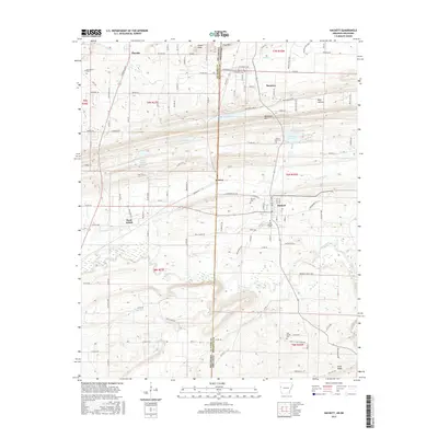
2017 Map of Hackett
USGS Topo · Published 2017About this map
Pocola and Hackett anchor this survey of the interstate boundary where Le Flore County, Oklahoma, meets Sebastian County, Arkansas. The landscape is defined by the east-west ridges of Backbone Mtn and Gray Mtn, which separate the northern settlements like Bonanza from the southern drainages of the James Fork. This area demonstrates a dense network of local roads and established rural communities, such as Jenson and Rock Island, that have persisted along the state line. Genealogists can find several notable burial sites including Macedonia Cem and Old Hickory Cem. Significant water features like the Harden Number 1 Reservoir and Wofford Lake suggest a managed agricultural and residential water system utilized by these border towns.
Find a feature on this map
75 named features on this map. Tap any name to fly to it.
Don’t see what you’re looking for? This feature index may not catch every label — zoom into the map to look around manually.
Map Details
Editions of this 2017 Hackett Map
This is the sole edition of this map. No revisions or reprints were ever made.
Other maps of this area

1879 · Fort Smith
USGS Topo · 1:62,500

1887 · Van Buren
USGS Topo · 1:62,500

1887 · Greenwood
USGS Topo · 1:62,500

1890 · Fort Smith
USGS Topo · 1:125,000

1900 · Sallisaw
USGS Topo · 1:125,000

1911 · Sallisaw
USGS Topo · 1:125,000

1943 · Fort Smith
USGS Topo · 1:125,000

1946 · Fort Smith
USGS Topo · 1:250,000

1947 · Van Buren
USGS Topo · 1:62,500

1947 · Greenwood
USGS Topo · 1:62,500