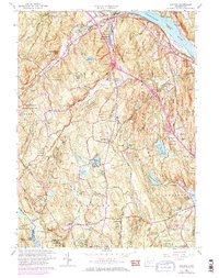
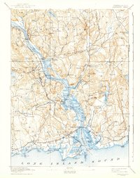
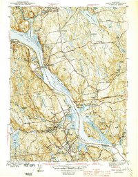
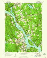
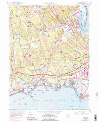
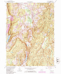
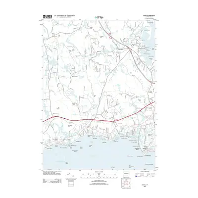
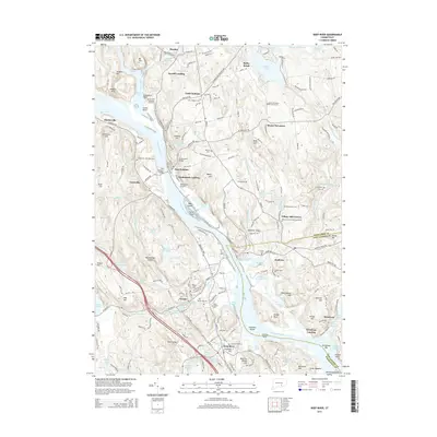
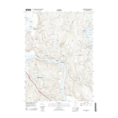
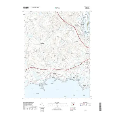
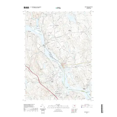
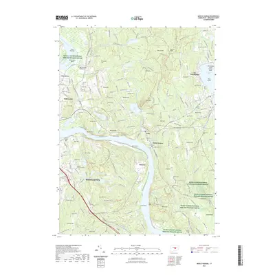
1961 Map of Haddam
USGS Topo · Published 1972About this map
The Connecticut River serves as the dominant boundary and thoroughfare for this region, framing the riverside settlements of Haddam and Higganum. As it appeared in the early 1960s, the landscape is heavily defined by the extensive Cockaponset State Forest, which preserves large tracts of woodland and water bodies like the Pattaconk Reservoir and Turkey Hill Reservoir. Small, established hamlets such as Ponset and Little City are connected by narrow winding roads like Bible Rock Road and Little City Road, revealing a post-war rural character before significant suburban expansion. Genealogical markers are abundant, with numerous burial grounds including Old Ponset Cem and the Stone House Cem situated near early settlement sites. The presence of the Chester Airport and various gravel pits and sandpits indicates the mid-century industrial and transportation needs of this part of Middlesex County.
Find a feature on this map
87 named features on this map. Tap any name to fly to it.
Don’t see what you’re looking for? This feature index may not catch every label — zoom into the map to look around manually.
Map Details
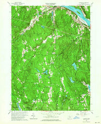
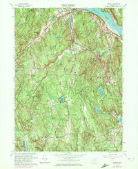
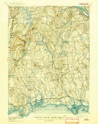
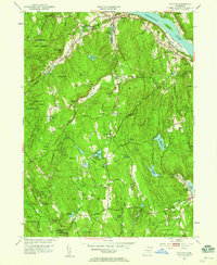
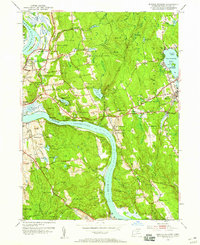
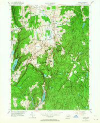
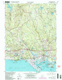
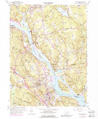
Editions of this 1961 Haddam Map
3 editions found
Historical Maps of Madison Through Time
49 maps found
1893 Guilford
Middlesex County, CT
1893 Saybrook
Middlesex County, CT

1928 Cromwell
Middlesex County, CT

1943 Durham
Middlesex County, CT
1944 Deep River
Middlesex County, CT
1944 Essex
Middlesex County, CT

1945 Middle Haddam
Middlesex County, CT
1951 Clinton
Middlesex County, CT
1952 Deep River
Middlesex County, CT
1952 Haddam
Middlesex County, CT
1952 Middle Haddam
Middlesex County, CT
1953 Durham
Middlesex County, CT
1958 Essex
Middlesex County, CT
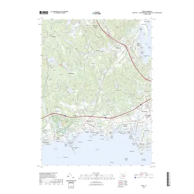
1961 Clinton
Middlesex County, CT
1961 Deep River
Middlesex County, CT
1961 Haddam
Middlesex County, CT
1961 Middle Haddam
Middlesex County, CT
1964 Durham
Middlesex County, CT
2012 Clinton
Middlesex County, CT
2012 Deep River
Middlesex County, CT
2012 Durham
Middlesex County, CT
2012 Essex
Middlesex County, CT
2012 Haddam
Middlesex County, CT
2012 Middle Haddam
Middlesex County, CT
2015 Clinton
Middlesex County, CT
2015 Deep River
Middlesex County, CT
2015 Durham
Middlesex County, CT
2015 Essex
Middlesex County, CT
2015 Haddam
Middlesex County, CT
2015 Middle Haddam
Middlesex County, CT
2018 Clinton
Middlesex County, CT
2018 Deep River
Middlesex County, CT
2018 Durham
Middlesex County, CT
2018 Essex
Middlesex County, CT
2018 Haddam
Middlesex County, CT
2018 Middle Haddam
Middlesex County, CT
2021 Clinton
Middlesex County, CT
2021 Deep River
Middlesex County, CT
2021 Durham
Middlesex County, CT
2021 Essex
Middlesex County, CT
2021 Haddam
Middlesex County, CT
2021 Middle Haddam
Middlesex County, CT
2023 Essex
Middlesex County, CT
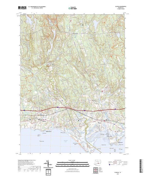
2024 Clinton
Middlesex County, CT
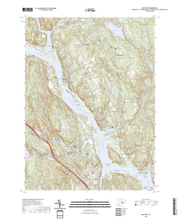
2024 Deep River
Middlesex County, CT
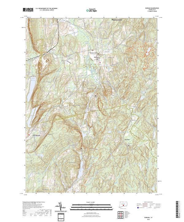
2024 Durham
Middlesex County, CT
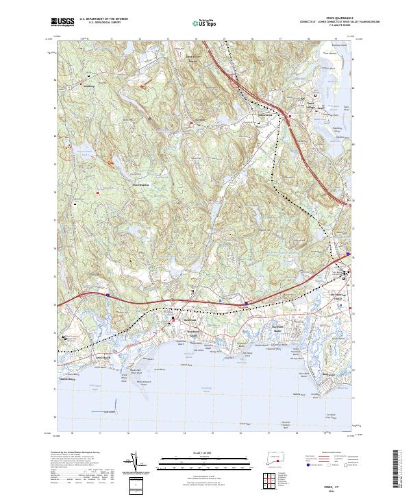
2024 Essex
Middlesex County, CT
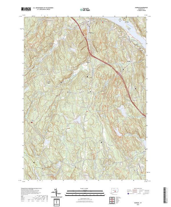
2024 Haddam
Middlesex County, CT
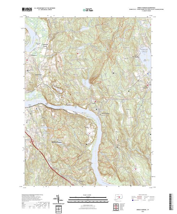
2024 Middle Haddam
Middlesex County, CT