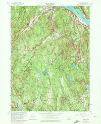
1961 Map of Haddam
USGS Topo · Published 1972About this map
The Connecticut River forms the eastern boundary of this mid-century landscape, where industrial and agricultural history meet the dense woodlands of the Cockaponset State Forest. Early settlements like Higganum, Haddam, and Ponset are documented alongside their ancestral burial grounds, including the Old Ponset Cem and Rock Landing Cem. This 1961 edition includes purple photorevisions from 1971, marking the mid-century expansion of modern infrastructure such as Interchange 8 and Interchange 7 through the hills.
Find a feature on this map
64 named features on this map. Tap any name to fly to it.
Don’t see what you’re looking for? This feature index may not catch every label — zoom into the map to look around manually.
Map Details
Editions of this 1961 Haddam Map
3 editions found
Other maps of this area

1892 · Gilead
USGS Topo · 1:62,500

1893 · Guilford
USGS Topo · 1:62,500

1893 · Middletown
USGS Topo · 1:62,500

1893 · Saybrook
USGS Topo · 1:62,500

1906 · Farmington
USGS Topo · 1:125,000

1928 · Cromwell
USGS Topo · 1:24,000

1943 · Durham
USGS Topo · 1:25,000

1944 · Essex
USGS Topo · 1:31,680

1944 · Deep River
USGS Topo · 1:31,680

1945 · Middle Haddam
USGS Topo · 1:31,680