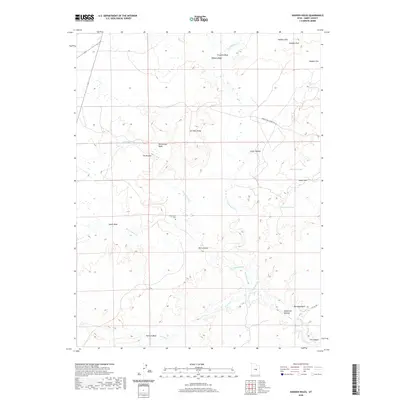
2020 Map of Hadden Holes
USGS Topo · Published 2020About this map
The Wilsonville Cem stands as a quiet focal point in this landscape of the San Rafael Swell, where high desert plateaus meet deeply incised drainage systems. The convergence of Huntington Cr, Cottonwood Cr, and Ferron Cr into the San Rafael River illustrates the vital water network that defined local ranching and settlement patterns. Notable geological landmarks like Oil Well Dome and The Breaks contrast with man-made water features such as Merrials Pond and Johansen Pond, reflecting the ongoing effort to manage resources in this arid environment. The historic Green River Cutoff Rd provides a look at the essential transportation corridors that once linked this interior region to broader commercial routes. From the namesake Hadden Holes to the elevation at Hadden Reef, the map documents a terrain where land use and topography are inextricably linked.
Find a feature on this map
27 named features on this map. Tap any name to fly to it.
Don’t see what you’re looking for? This feature index may not catch every label — zoom into the map to look around manually.
Map Details
Editions of this 2020 Hadden Holes Map
This is the sole edition of this map. No revisions or reprints were ever made.
Other maps of this area

1885 · Manti
USGS Topo · 1:250,000

1886 · Price River
USGS Topo · 1:250,000

1895 · Manti
USGS Topo · 1:250,000

1896 · Price River
USGS Topo · 1:250,000

1923 · Castle Dale
USGS Topo · 1:62,500

1923 · Hiawatha
USGS Topo · 1:62,500

1925 · Castle Dale
USGS Topo · 1:62,500

1925 · Hiawatha
USGS Topo · 1:62,500

1953 · Wilsonville SE
USGS Topo · 1:24,000
1954 · Wilsonville SE
USGS Topo · 1:24,000