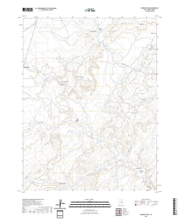
2023 Map of Hadden Holes
USGS Topo · Published 2023About this map
Castle Dale anchors the western edge of this Emery County landscape, where the town's grid meets a complex system of drainage washes and high desert terrain. The area is defined by a network of seasonal watercourses including Cottonwood Creek, South Wash, and Dutchmans Wash, which have carved intricate patterns into the land, notably at The Breaks. To the east, the topography rises sharply into the Hadden Hills and Hadden Reef, framing the namesake Hadden Holes and Hadden Flat.
Find a feature on this map
22 named features on this map. Tap any name to fly to it.
Don’t see what you’re looking for? This feature index may not catch every label — zoom into the map to look around manually.
Map Details
Editions of this 2023 Hadden Holes Map
This is the sole edition of this map. No revisions or reprints were ever made.
Other maps of this area

1885 · Manti
USGS Topo · 1:250,000

1886 · Price River
USGS Topo · 1:250,000

1895 · Manti
USGS Topo · 1:250,000

1896 · Price River
USGS Topo · 1:250,000

1923 · Castle Dale
USGS Topo · 1:62,500

1923 · Hiawatha
USGS Topo · 1:62,500

1925 · Castle Dale
USGS Topo · 1:62,500

1925 · Hiawatha
USGS Topo · 1:62,500

1953 · Wilsonville SE
USGS Topo · 1:24,000
1954 · Wilsonville SE
USGS Topo · 1:24,000