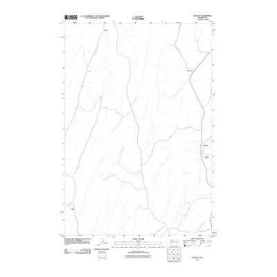
2011 Map of Hadley
USGS Topo · Published 2011About this map
Climax and Drum sit within a landscape of agriculture and seasonal waterways in this 2011 topographic record of Walla Walla County. The area is defined by a series of north-south running valleys and ridges, with drainage provided by the Big Spring Branch and the appropriately named Dry Creek. Human activity is concentrated along a network of rural roads such as Sudbury Rd and Pettyjohn Rd, which connect small clusters of development like Berryman and Hadley. This modern survey illustrates how early settlement patterns, often dictated by the proximity to water and arable land, continue to shape the contemporary geography of the region. The map also identifies Spring Valley and Thiel, providing a detailed spatial context for researchers and residents interested in the local heritage of this part of southeastern Washington.
Find a feature on this map
13 named features on this map. Tap any name to fly to it.
Don’t see what you’re looking for? This feature index may not catch every label — zoom into the map to look around manually.
Map Details
Editions of this 2011 Hadley Map
This is the sole edition of this map. No revisions or reprints were ever made.
Other maps of this area

1915 · Wallulah
USGS Topo · 1:96,000

1918 · Wallula
USGS Topo · 1:125,000

1919 · Walla Walla
USGS Topo · 1:125,000

1921 · Walla Walla
USGS Topo · 1:125,000

1953 · Walla Walla
USGS Topo · 1:250,000

1958 · Walla Walla
USGS Topo · 1:250,000

1966 · Rulo
USGS Topo · 1:24,000

1966 · Hadley
USGS Topo · 1:24,000

1966 · Valley Grove
USGS Topo · 1:24,000
1966 · Eureka
USGS Topo · 1:24,000