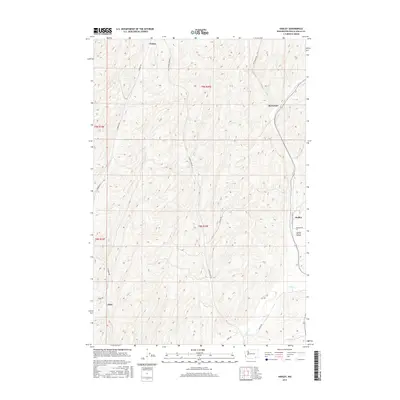
2017 Map of Hadley
USGS Topo · Published 2017About this map
Berryman and Hadley anchor this agricultural landscape in Walla Walla County, where the topography is defined by the repetitive drainage patterns of the Palouse. The map reveals a network of rural settlements including Climax and Thiel, connected by a grid of family-named corridors such as Sudbury Rd and Harvey Shaw Rd. These roads navigate the complex ridgelines between seasonal watercourses like Big Spring Br and the wider basin of Spring Valley.
Find a feature on this map
20 named features on this map. Tap any name to fly to it.
Don’t see what you’re looking for? This feature index may not catch every label — zoom into the map to look around manually.
Map Details
Editions of this 2017 Hadley Map
This is the sole edition of this map. No revisions or reprints were ever made.
Other maps of this area

1915 · Wallulah
USGS Topo · 1:96,000

1918 · Wallula
USGS Topo · 1:125,000

1919 · Walla Walla
USGS Topo · 1:125,000

1921 · Walla Walla
USGS Topo · 1:125,000

1953 · Walla Walla
USGS Topo · 1:250,000

1958 · Walla Walla
USGS Topo · 1:250,000

1966 · Rulo
USGS Topo · 1:24,000

1966 · Hadley
USGS Topo · 1:24,000

1966 · Valley Grove
USGS Topo · 1:24,000
1966 · Eureka
USGS Topo · 1:24,000