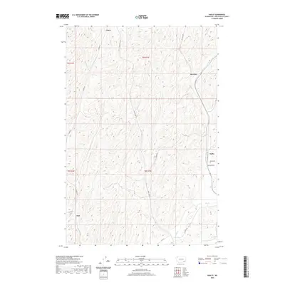
2020 Map of Hadley
USGS Topo · Published 2020About this map
Berryman and Hadley anchor this Walla Walla County landscape, appearing as established nodes in a rural network defined by large-scale agricultural activity and a deliberate grid of local roads. The terrain is marked by the branching drainages of Dry Cr, which cuts through the southern reaches of the quadrangle near the settlement of Thiel. This area reflects the modern face of Eastern Washington's wheat-growing regions, where small community centers like Spring Valley and Climax remain connected by long-established routes such as Sudbury Rd and Harvey Shaw Rd. The map illustrates how the Public Land Survey System has dictated the physical layout of the county, with section lines and township boundaries like t9n r35e guiding the placement of farmsteads and transport corridors between the undulating coulees.
Find a feature on this map
19 named features on this map. Tap any name to fly to it.
Don’t see what you’re looking for? This feature index may not catch every label — zoom into the map to look around manually.
Map Details
Editions of this 2020 Hadley Map
This is the sole edition of this map. No revisions or reprints were ever made.
Other maps of this area

1915 · Wallulah
USGS Topo · 1:96,000

1918 · Wallula
USGS Topo · 1:125,000

1919 · Walla Walla
USGS Topo · 1:125,000

1921 · Walla Walla
USGS Topo · 1:125,000

1953 · Walla Walla
USGS Topo · 1:250,000

1958 · Walla Walla
USGS Topo · 1:250,000

1966 · Rulo
USGS Topo · 1:24,000

1966 · Hadley
USGS Topo · 1:24,000

1966 · Valley Grove
USGS Topo · 1:24,000
1966 · Eureka
USGS Topo · 1:24,000