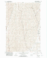
1991 Map of Hadley
USGS Topo · Published 1992About this map
Spring Valley defines this portion of Walla Walla County, where the agricultural landscape of the 1990s is shaped by historical transit corridors and isolated grain storage facilities. The infrastructure of the Sudbury Railroad and an Old Grade highlight the region's reliance on rail for moving wheat and produce. Settlements such as Hadley and Berryman are marked by their associated Storage Bins and a large Grain Elevator, emphasizing the industrial-agricultural nature of the terrain.
Find a feature on this map
22 named features on this map. Tap any name to fly to it.
Don’t see what you’re looking for? This feature index may not catch every label — zoom into the map to look around manually.
Map Details
Editions of this 1991 Hadley Map
This is the sole edition of this map. No revisions or reprints were ever made.
Other maps of this area
1915 · Wallulah
USGS Topo · 1:96,000
1918 · Wallula
USGS Topo · 1:125,000
1919 · Walla Walla
USGS Topo · 1:125,000
1921 · Walla Walla
USGS Topo · 1:125,000
1953 · Walla Walla
USGS Topo · 1:250,000
1958 · Walla Walla
USGS Topo · 1:250,000
1966 · Rulo
USGS Topo · 1:24,000
1966 · Hadley
USGS Topo · 1:24,000
1966 · Valley Grove
USGS Topo · 1:24,000
1966 · Eureka
USGS Topo · 1:24,000