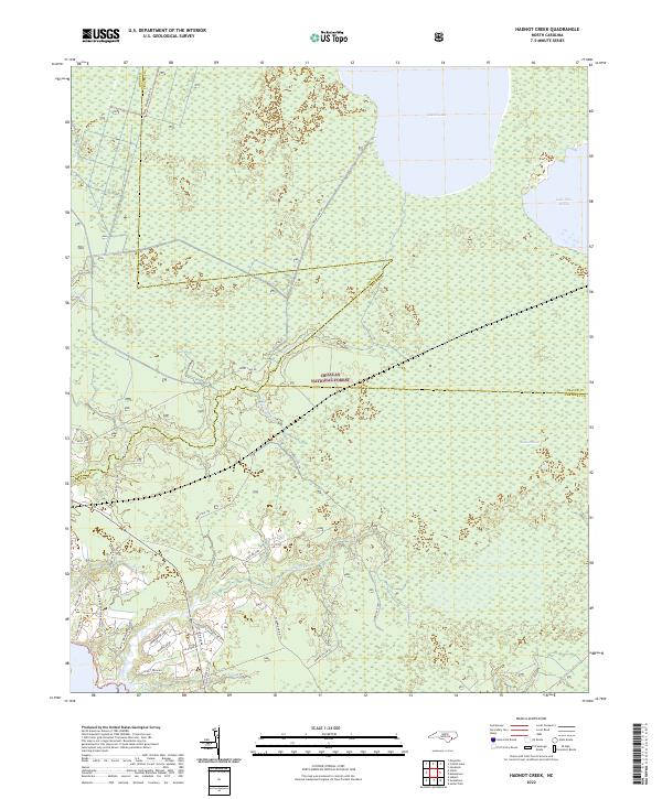
2022 Map of Hadnot Creek
USGS Topo · Published 2022About this map
Croatan National Forest dominates this coastal North Carolina landscape, where the waters of Great Lake and Lake Ellis Simon meet the dense vegetation of Lakes Pocosin. This region is defined by its complex drainage network, where Wolf Swamp and Hunters Cr feed into the broader coastal ecosystem. The boundary lines of Jones, Craven, and Carteret counties converge within these wooded tracts, illustrating the administrative divisions of this managed wilderness.
Find a feature on this map
35 named features on this map. Tap any name to fly to it.
Don’t see what you’re looking for? This feature index may not catch every label — zoom into the map to look around manually.
Map Details
Editions of this 2022 Hadnot Creek Map
This is the sole edition of this map. No revisions or reprints were ever made.
Other maps of this area

1942 · Maysville
USGS Topo · 1:62,500

1942 · Swansboro
USGS Topo · 1:62,500

1948 · Maysville
USGS Topo · 1:62,500

1948 · Swansboro
USGS Topo · 1:62,500

1949 · Havelock
USGS Topo · 1:24,000

1949 · Salter Path
USGS Topo · 1:24,000

1949 · Masontown
USGS Topo · 1:24,000

1951 · Salter Path
USGS Topo · 1:24,000

1951 · Masontown
USGS Topo · 1:24,000

1952 · Hubert
USGS Topo · 1:24,000