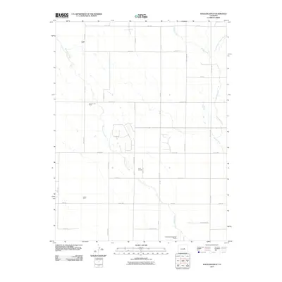
2010 Map of Haegler Ranch
USGS Topo · Published 2010About this map
The Haegler Ranch area of El Paso County characterizes the sprawling ranching and aviation landscape of the Colorado plains in the early 21st century. This region is defined by large landholdings and an extensive grid of section-line roads, including Peyton Hwy and Falcon Hwy. Waterways like Black Squirrel Creek and Brackett Creek cut through the terrain, though the absence of concentrated townships suggests a low-density rural environment. Local aviation is a notable feature of the landscape, with both the Colorado Springs East Airport and Eisco Airport positioned within this quadrangle. Named ranching properties such as La Vega Ranch and the Hook and Line Ranch offer specific points of interest for local historians tracking property boundaries and land use in this part of the state.
Find a feature on this map
29 named features on this map. Tap any name to fly to it.
Don’t see what you’re looking for? This feature index may not catch every label — zoom into the map to look around manually.
Map Details
Editions of this 2010 Haegler Ranch Map
This is the sole edition of this map. No revisions or reprints were ever made.
Other maps of this area

1893 · Big Springs
USGS Topo · 1:125,000

1893 · Colorado Springs
USGS Topo · 1:125,000

1894 · Castle Rock
USGS Topo · 1:125,000

1909 · Colorado Springs
USGS Topo · 1:125,000

1913 · Castle Rock
USGS Topo · 1:125,000

1940 · Elbert
USGS Topo · 1:62,500

1942 · Colorado Springs
USGS Topo · 1:125,000

1944 · Elbert
USGS Topo · 1:62,500

1948 · Falcon
USGS Topo · 1:24,000

1948 · Falcon
USGS Topo · 1:62,500