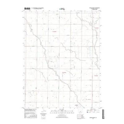
2016 Map of Haegler Ranch
USGS Topo · Published 2016About this map
Black Squirrel Cr winds through the high plains of El Paso County, defining the drainage patterns of this rural landscape northeast of Colorado Springs. The map reveals a transition from traditional agricultural land use, anchored by the Haegler Ranch, toward modern regional infrastructure such as the Colorado Spring East Airport. A rigid grid of country roads, including Peyton Hwy and Falcon Hwy, segments the terrain into large parcels typical of the area's ranching heritage. Local hydrology is further marked by the upper reaches of Brackett Cr and its eastern branch, providing a detailed view of the ephemeral waterways that have historically dictated settlement and road placement in this semi-arid region.
Find a feature on this map
37 named features on this map. Tap any name to fly to it.
Don’t see what you’re looking for? This feature index may not catch every label — zoom into the map to look around manually.
Map Details
Editions of this 2016 Haegler Ranch Map
This is the sole edition of this map. No revisions or reprints were ever made.
Other maps of this area

1893 · Big Springs
USGS Topo · 1:125,000

1893 · Colorado Springs
USGS Topo · 1:125,000

1894 · Castle Rock
USGS Topo · 1:125,000

1909 · Colorado Springs
USGS Topo · 1:125,000

1913 · Castle Rock
USGS Topo · 1:125,000

1940 · Elbert
USGS Topo · 1:62,500

1942 · Colorado Springs
USGS Topo · 1:125,000

1944 · Elbert
USGS Topo · 1:62,500

1948 · Falcon
USGS Topo · 1:24,000

1948 · Falcon
USGS Topo · 1:62,500