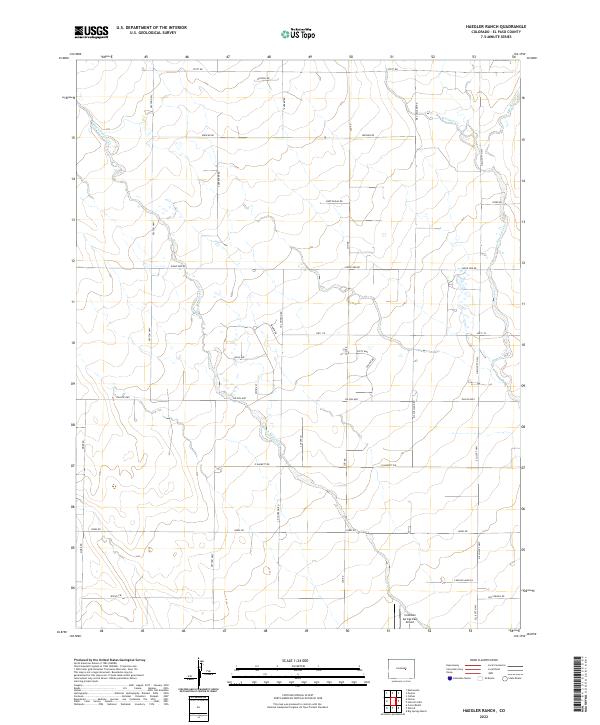
2022 Map of Haegler Ranch
USGS Topo · Published 2022About this map
Black Squirrel Cr and Brackett Cr define the drainage patterns across this El Paso County landscape, where rural properties are organized by an extensive grid of local roads and highways. The area is anchored by the Colorado Springs East Airport in the southeastern corner, serving as a significant aviation hub for this part of the plains. The map reflects a transition toward more structured residential development, evidenced by clustered naming conventions like Oasis Ave, Sahara Dr, and Sphinx Ct north of the Falcon Hwy. This mix of large ranch-style parcels and newer subdivisions is connected by a network of thoroughfares including Peyton Hwy and N Ellicott Hwy, showing how transportation infrastructure has evolved to support both agricultural interests and increasing regional habitation east of the mountains.
Find a feature on this map
37 named features on this map. Tap any name to fly to it.
Don’t see what you’re looking for? This feature index may not catch every label — zoom into the map to look around manually.
Map Details
Editions of this 2022 Haegler Ranch Map
This is the sole edition of this map. No revisions or reprints were ever made.
Other maps of this area

1893 · Big Springs
USGS Topo · 1:125,000

1893 · Colorado Springs
USGS Topo · 1:125,000

1894 · Castle Rock
USGS Topo · 1:125,000

1909 · Colorado Springs
USGS Topo · 1:125,000

1913 · Castle Rock
USGS Topo · 1:125,000

1940 · Elbert
USGS Topo · 1:62,500

1942 · Colorado Springs
USGS Topo · 1:125,000

1944 · Elbert
USGS Topo · 1:62,500

1948 · Falcon
USGS Topo · 1:24,000

1948 · Falcon
USGS Topo · 1:62,500