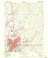
1953 Map of Hagerstown
USGS Topo · Published 1972About this map
The Mason and Dixon Line serves as the northern boundary of this Maryland-Pennsylvania borderlands study, separating Antrim in Franklin County from Washington County. The city of Hagerstown dominates the southern half of the map, showing a dense urban core concentrated around the Courthouse and City Park, while residential expansion pushes northward toward Paramount and Maugansville. The landscape is defined by the winding course of Antietam Creek and its tributaries, including Marsh Run and Little Antietam Creek, which historically supported early industry like Lehmans Mill.
Find a feature on this map
57 named features on this map. Tap any name to fly to it.
Don’t see what you’re looking for? This feature index may not catch every label — zoom into the map to look around manually.
Map Details
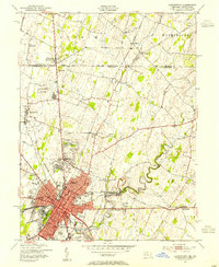
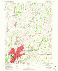
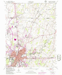
Editions of this 1953 Hagerstown Map
4 editions found
Other maps of this area

1900 · Mercersburg
USGS Topo · 1:62,500

1902 · Chambersburg
USGS Topo · 1:62,500

1902 · Mercersburg
USGS Topo · 1:62,500

1909 · Hagerstown
USGS Topo · 1:48,000

1912 · Hagerstown
USGS Topo · 1:62,500

1912 · Williamsport
USGS Topo · 1:62,500

1942 · Hagerstown
USGS Topo · 1:125,000

1943 · Hagerstown
USGS Topo · 1:125,000

1943 · Chambersburg
USGS Topo · 1:62,500

1943 · Mercersburg
USGS Topo · 1:62,500