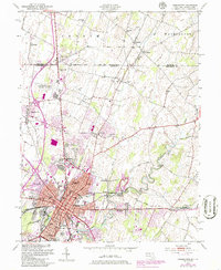
1953 Map of Hagerstown
USGS Topo · Published 1986About this map
The Mason and Dixon Line serves as the northern boundary of this Maryland landscape, where the urban expansion of Hagerstown meets the rolling agricultural land of the Cumberland Valley. The mid-century city core is dense with civic landmarks, including the Courthouse, County Hospital, and numerous neighborhood schools like Antietam Sch and Howard Sch. To the north, the Washington County Regional Airport and a growing industrial footprint at Security signal the region's post-war development.
Find a feature on this map
72 named features on this map. Tap any name to fly to it.
Don’t see what you’re looking for? This feature index may not catch every label — zoom into the map to look around manually.
Map Details
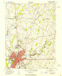
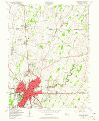
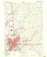
Editions of this 1953 Hagerstown Map
4 editions found
Other maps of this area

1900 · Mercersburg
USGS Topo · 1:62,500

1902 · Chambersburg
USGS Topo · 1:62,500

1902 · Mercersburg
USGS Topo · 1:62,500

1909 · Hagerstown
USGS Topo · 1:48,000

1912 · Hagerstown
USGS Topo · 1:62,500

1912 · Williamsport
USGS Topo · 1:62,500

1942 · Hagerstown
USGS Topo · 1:125,000

1943 · Hagerstown
USGS Topo · 1:125,000

1943 · Chambersburg
USGS Topo · 1:62,500

1943 · Mercersburg
USGS Topo · 1:62,500