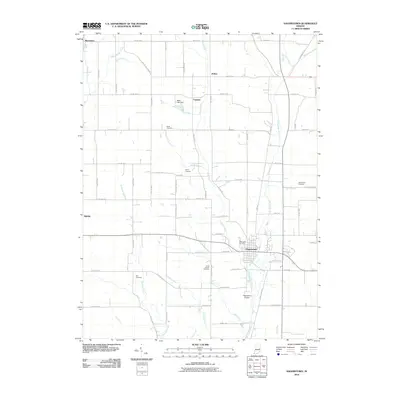
2010 Map of Hagerstown
USGS Topo · Published 2010About this map
Hagerstown anchors this 2010 survey of Wayne County, positioned at the convergence of several significant waterways including the Whitewater River and Nettle Creek. The landscape is defined by a dense network of local routes such as Turnpike Rd and Five Point Rd, which connect the primary settlement to outlying areas like Dalton, Franklin, and Millville. This distribution reflects a long-standing agricultural pattern typical of eastern Indiana, where small village centers and crossroads communities grew around fertile river valleys.
Find a feature on this map
61 named features on this map. Tap any name to fly to it.
Don’t see what you’re looking for? This feature index may not catch every label — zoom into the map to look around manually.
Map Details
Editions of this 2010 Hagerstown Map
This is the sole edition of this map. No revisions or reprints were ever made.
Other maps of this area

1948 · Lewisville
USGS Topo · 1:24,000

1950 · New Castle East
USGS Topo · 1:24,000

1950 · Lewisville
USGS Topo · 1:24,000

1953 · Cincinnati
USGS Topo · 1:250,000

1953 · Muncie
USGS Topo · 1:250,000

1956 · Muncie
USGS Topo · 1:250,000

1957 · Cincinnati
USGS Topo · 1:250,000

1960 · New Castle East
USGS Topo · 1:24,000

1960 · Mount Pleasant
USGS Topo · 1:24,000

1960 · Carlos
USGS Topo · 1:24,000